Itinerary Planning
How Many Days In Oaxaca
Match your trip length to Oaxaca City: what 2, 3, 4 and 5 days each realistically cover.
Practical guides on when to go, what to eat, where to stay, and getting around Oaxaca.
Itinerary Planning
Match your trip length to Oaxaca City: what 2, 3, 4 and 5 days each realistically cover.
practical
Data options for Oaxaca City: eSIM versus local SIM, where to buy, and what to plan offline for the valley day trips.
safety
What the UK, Canadian and US advisories say about Oaxaca, which risks recur locally, and how to plan around them.
food
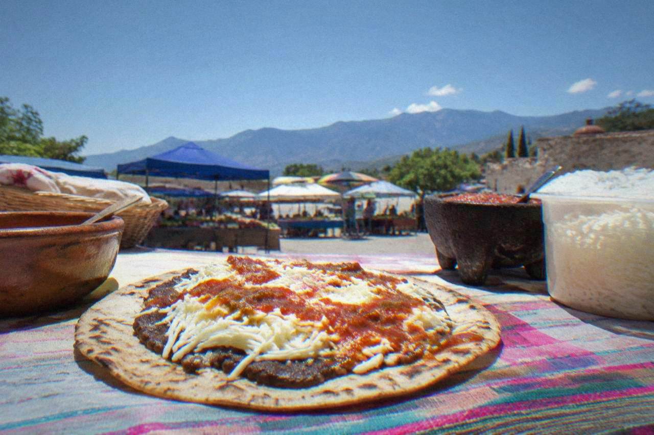
Where to find and buy quesillo in Oaxaca City: markets, valley towns and cooking classes.
trip planning
How many days for the city, how many for the coast, and how the drive between them actually works.
cooking classes
Market visit, mole and tortillas: how cooking classes in Oaxaca City work and how to pick one.
itinerary planning
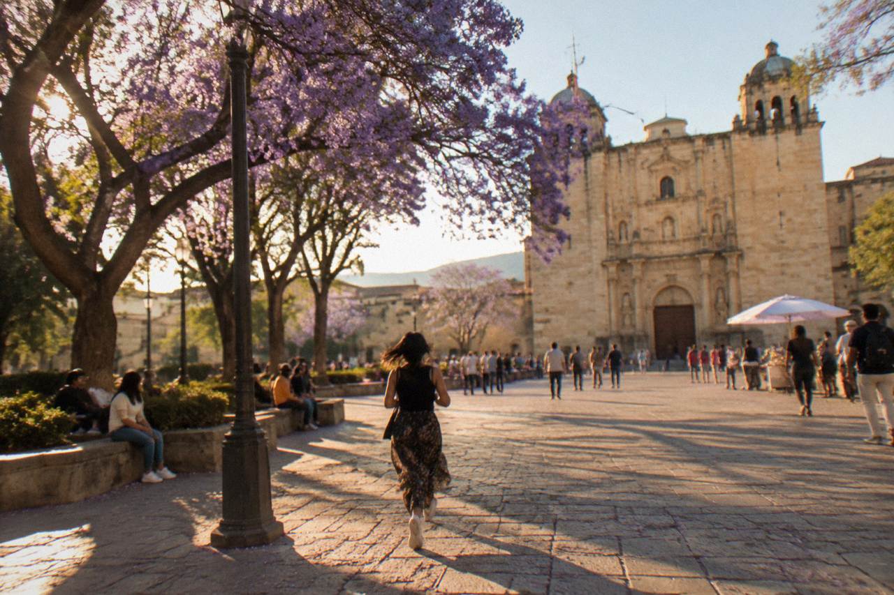
Build an Oaxaca City itinerary from scratch: days needed, site hours that shape each day, valley pairings and seasonal timing.
Oaxaca State Guide
What the name Oaxaca covers: the state, the city of Oaxaca de Juárez, and how the two fit together for a trip.
transport
Bus or plane from Oaxaca City to Mexico City, plus how to spend your final days in the Valles Centrales.
budget
Fixed fees, lodging tax and season-by-season budgeting for Oaxaca City in pesos.
packing
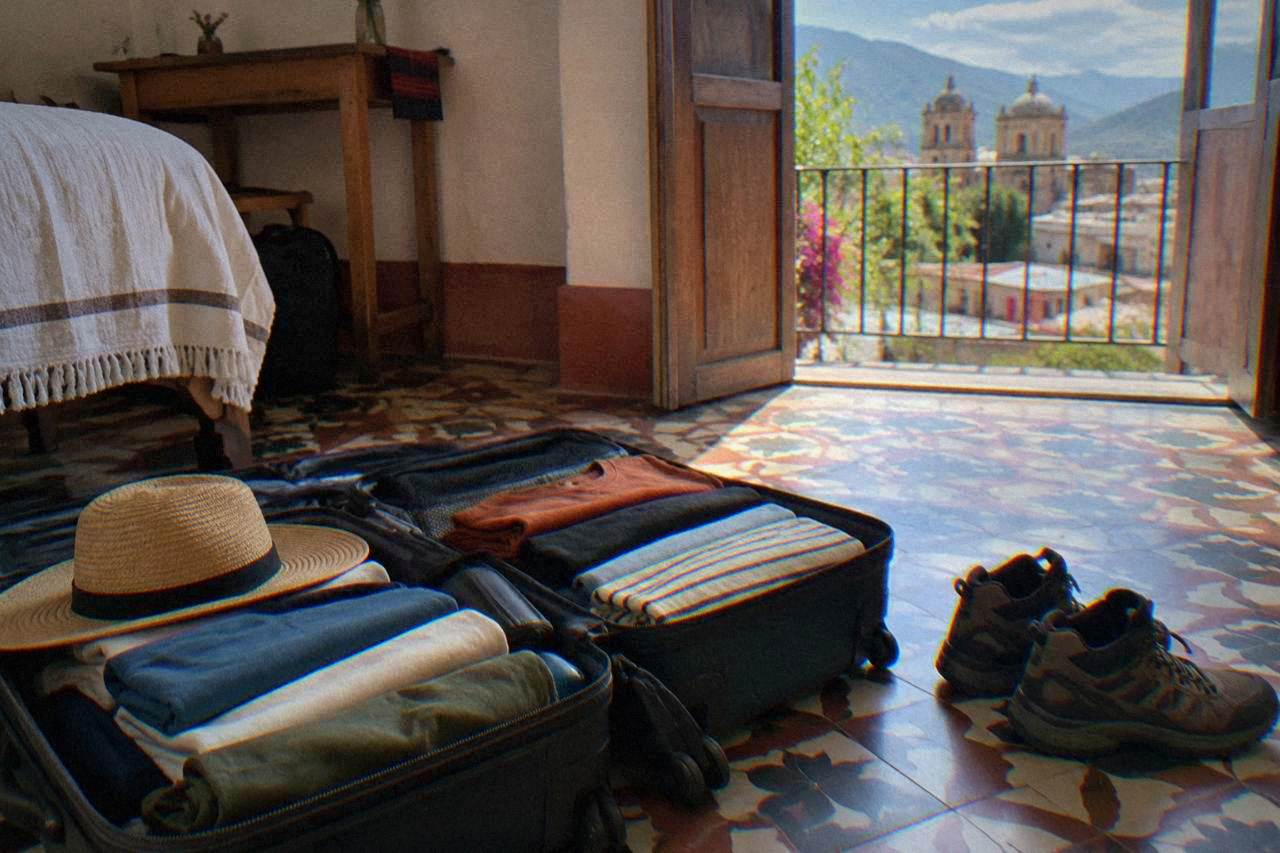
Season-by-season packing for Oaxaca City's highland climate: layers, sun gear, rain protection and walking shoes.
planning
Twenty-five sourced practical tips for Oaxaca City: fees, hours, climate, transport and timing.
practical
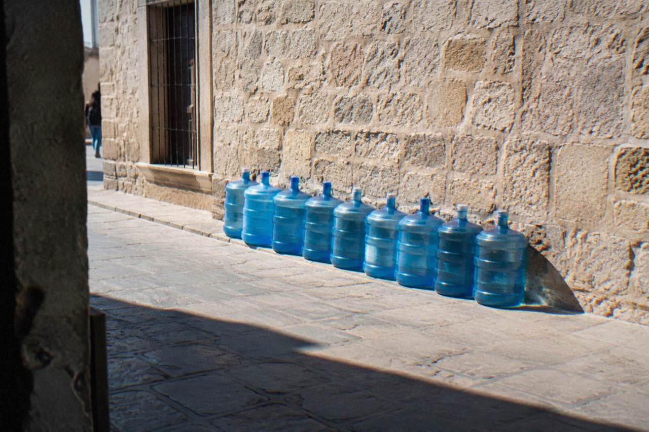
Tap, ice and purified water in Oaxaca City: the local practice, where to buy drinking water, and how altitude and the dry and rainy seasons shape hydration.
practical
Altitude, sun strength, monthly climate normals and packing advice for Oaxaca City, an inland highland capital at about 1,550 m.
language
Say Oaxaca, Mitla, tlayuda and mezcal the way locals do: stress, syllables and the tricky X explained.
walking
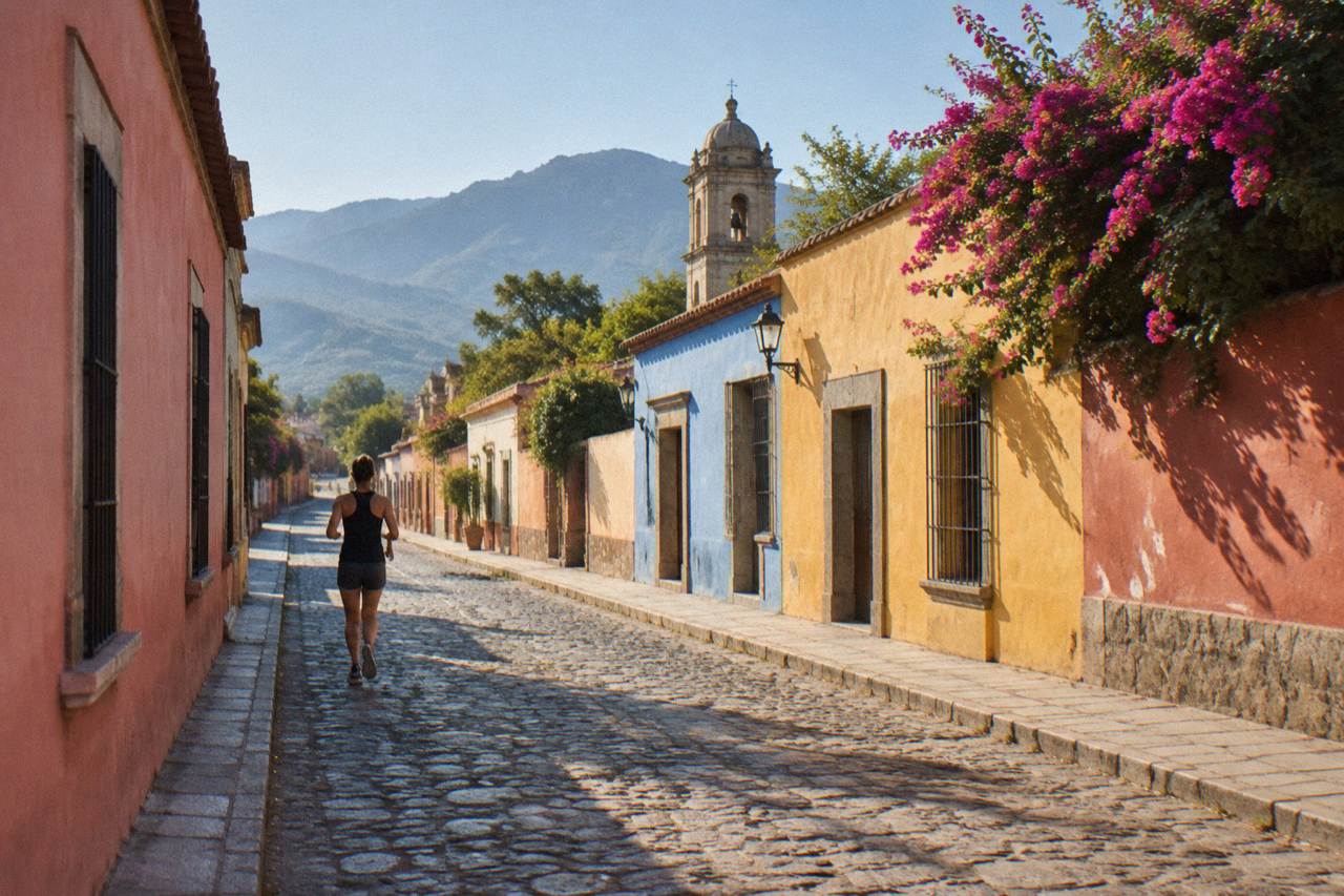
How walkable Oaxaca City really is: cobblestones, hills, distances and which sights you can reach on foot.
transport
Taxis, Uber, DiDi, colectivos and airport transfers in Oaxaca City, plus when a valley tour beats driving yourself.
coast
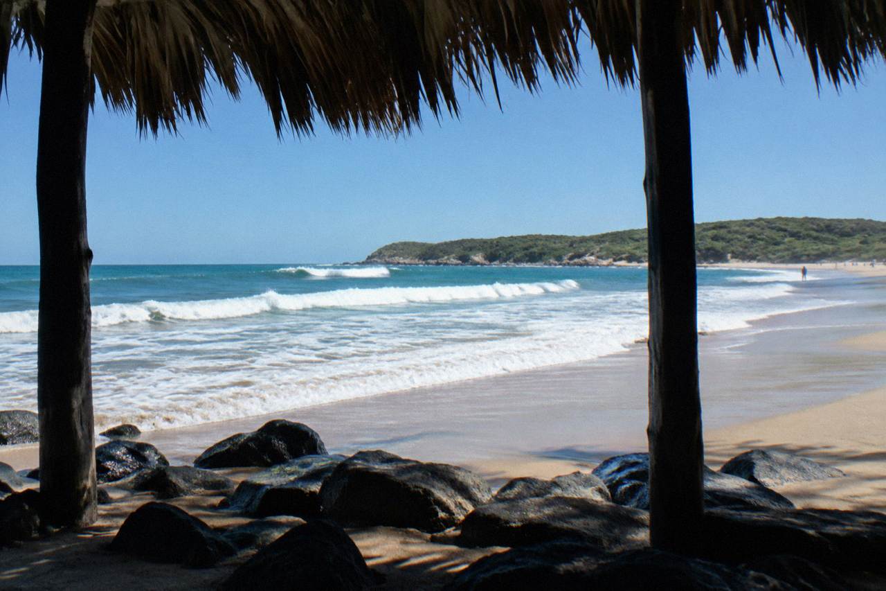
No beach in the city, a coast that is a real extension: how to fit Puerto Escondido, Mazunte or Huatulco into an Oaxaca trip.
airport
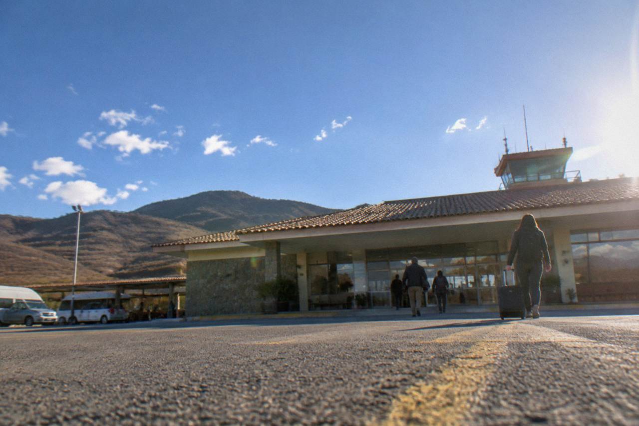
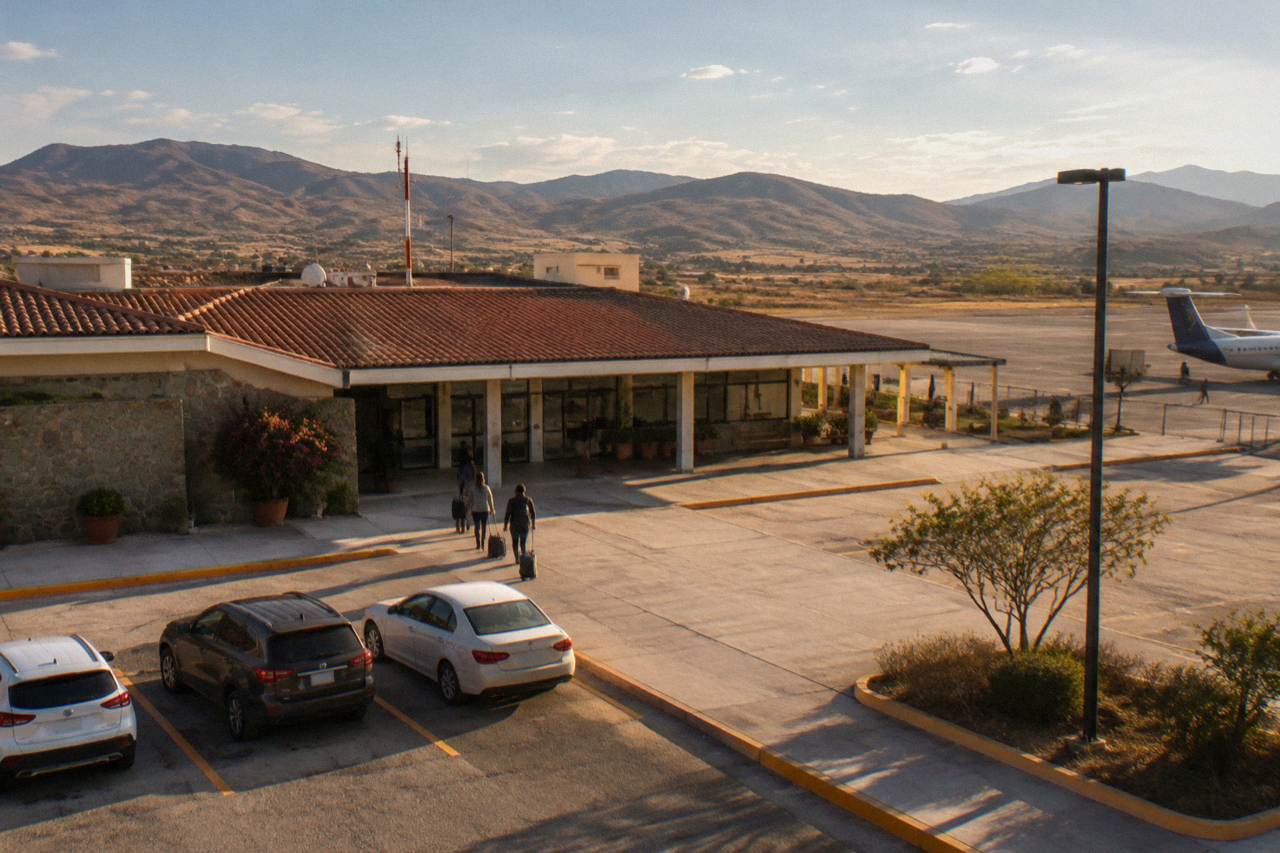
Arriving at OAX: airport facts, getting into Oaxaca City, and planning the return leg.
transport
Roads, tolls and parking around Oaxaca City, with drive times and site opening hours.
transport
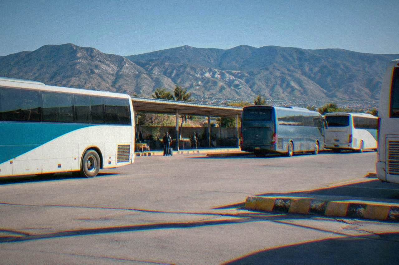
Classes, seats and stations on Oaxaca's main long-distance bus operator, plus what to do after you arrive.
getting around
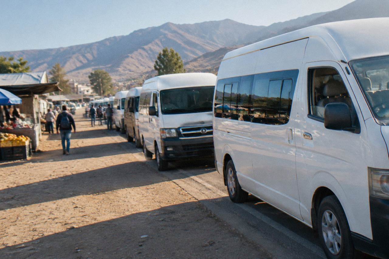
Shared vans and three-wheelers link Oaxaca City to the valley towns. Here is how the network works.
flights
Which routes reach Xoxocotlán airport, when fares peak, and how to land ready to explore.
transport
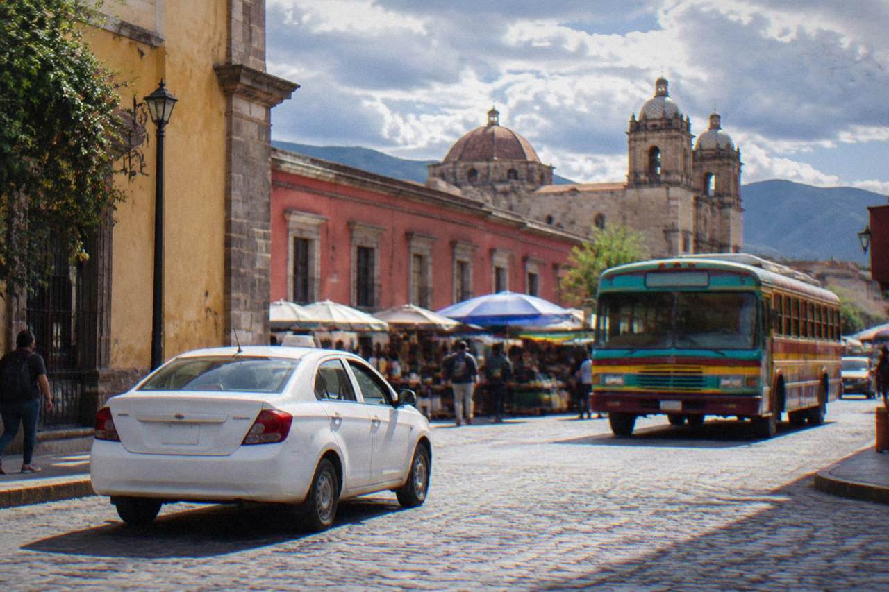
Walking, taxis, colectivos and day tours in Oaxaca City, with hours, fees and drive times.
practical
Pesos, cards and a daily cash plan for Oaxaca City, built on published prices and the state lodging tax.
planning
Dry season, rainy season and festival weeks in Oaxaca City, with month by month climate figures.
planning
Monthly rain figures, rainy-day itineraries and packing advice for Oaxaca City from May to October.
weather
Month-by-month temperatures and rain for Oaxaca City, from the SMN climate normals.
food
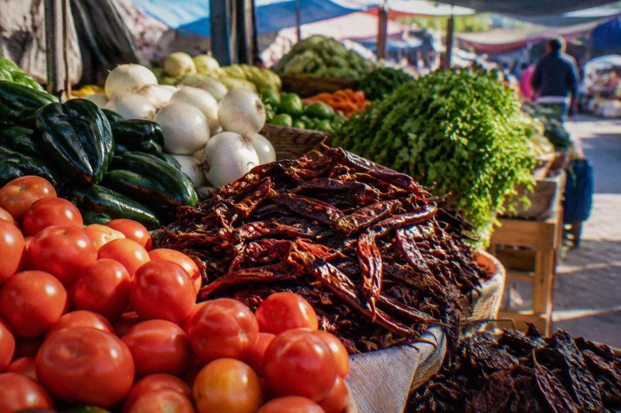
The seven moles, tlayudas, street food, tejate and mezcal, and where to eat them in Oaxaca City.
food
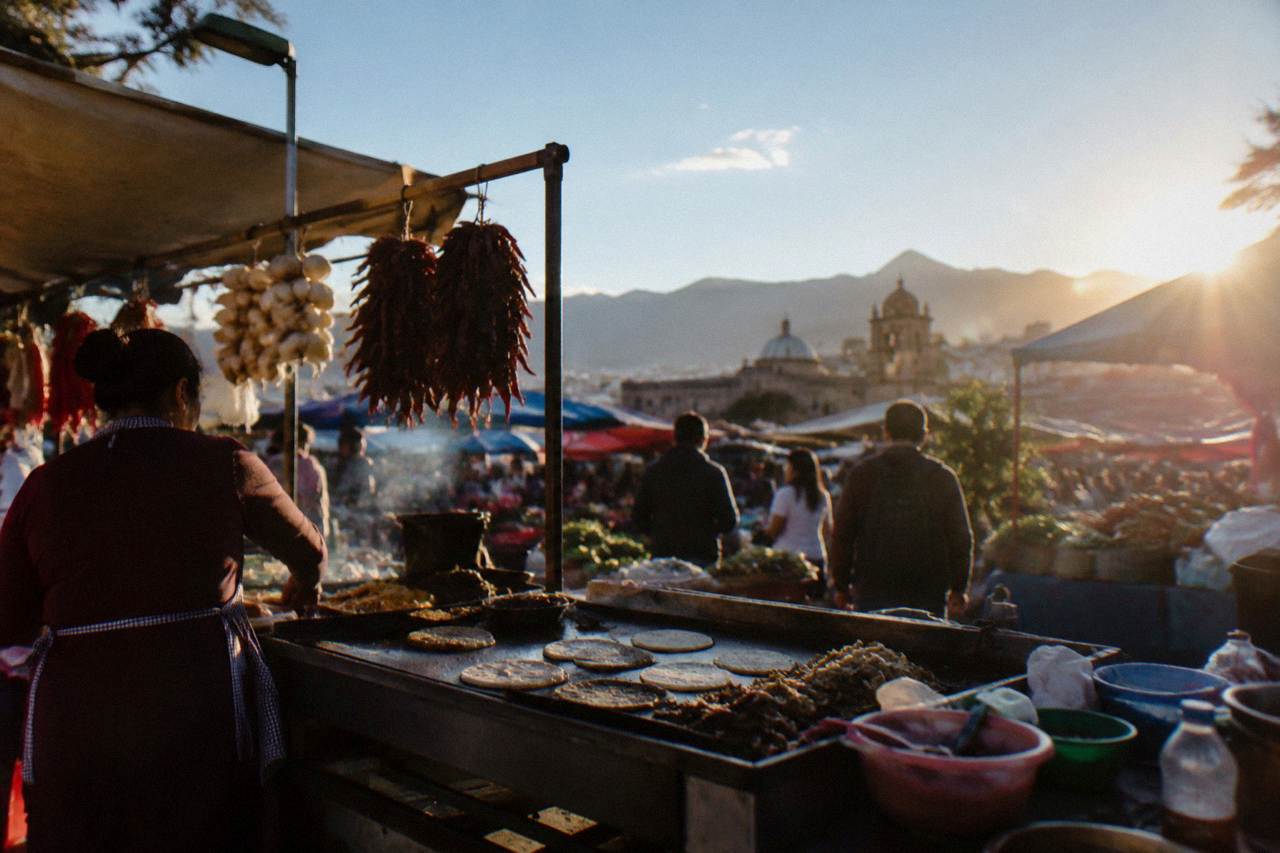
From market counters to tasting menus: how eating in Oaxaca City works, dish by dish.
mezcal
How to taste mezcal, which tours and workshops to book, and how the spirit fits into an Oaxaca City trip.
Food And Drink
Where to drink in Oaxaca City, from the Andador to Jalatlaco, with climate, chocolate and pairing tours.
Food And Drink
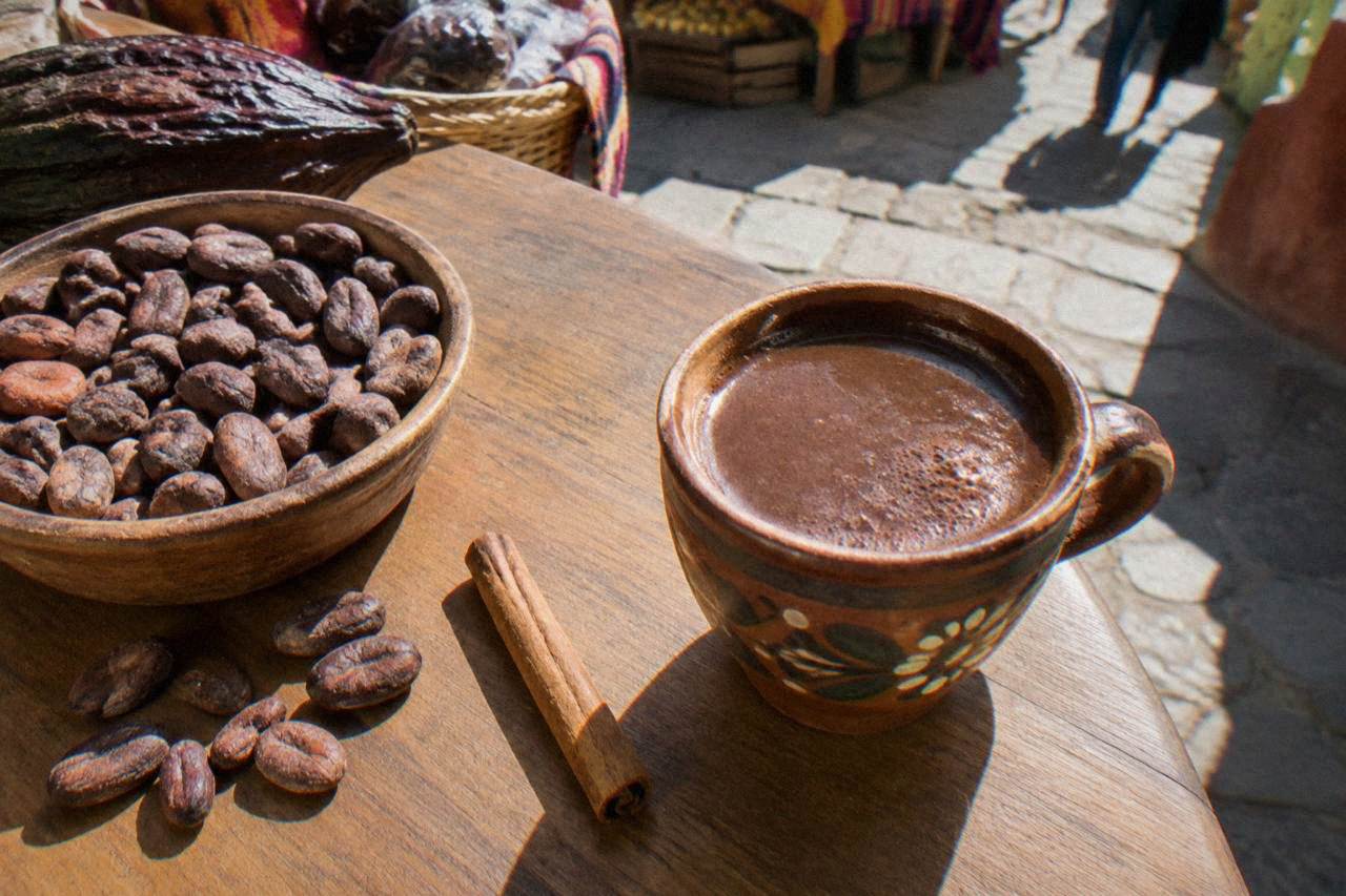
Cacao mills, mole paste and hot chocolate in Oaxaca City, with markets, tastings and tours.
food
Meat-free eating in Oaxaca City: dishes, markets, classes and tours.
food
Tacos, memelas and chapulines: where and what to eat on the street in Oaxaca City.
events
Dates, ticket sections and free seats for the Guelaguetza in Oaxaca City, plus the calendas, convites and Feria del Mezcal that fill July around it.
Nightlife
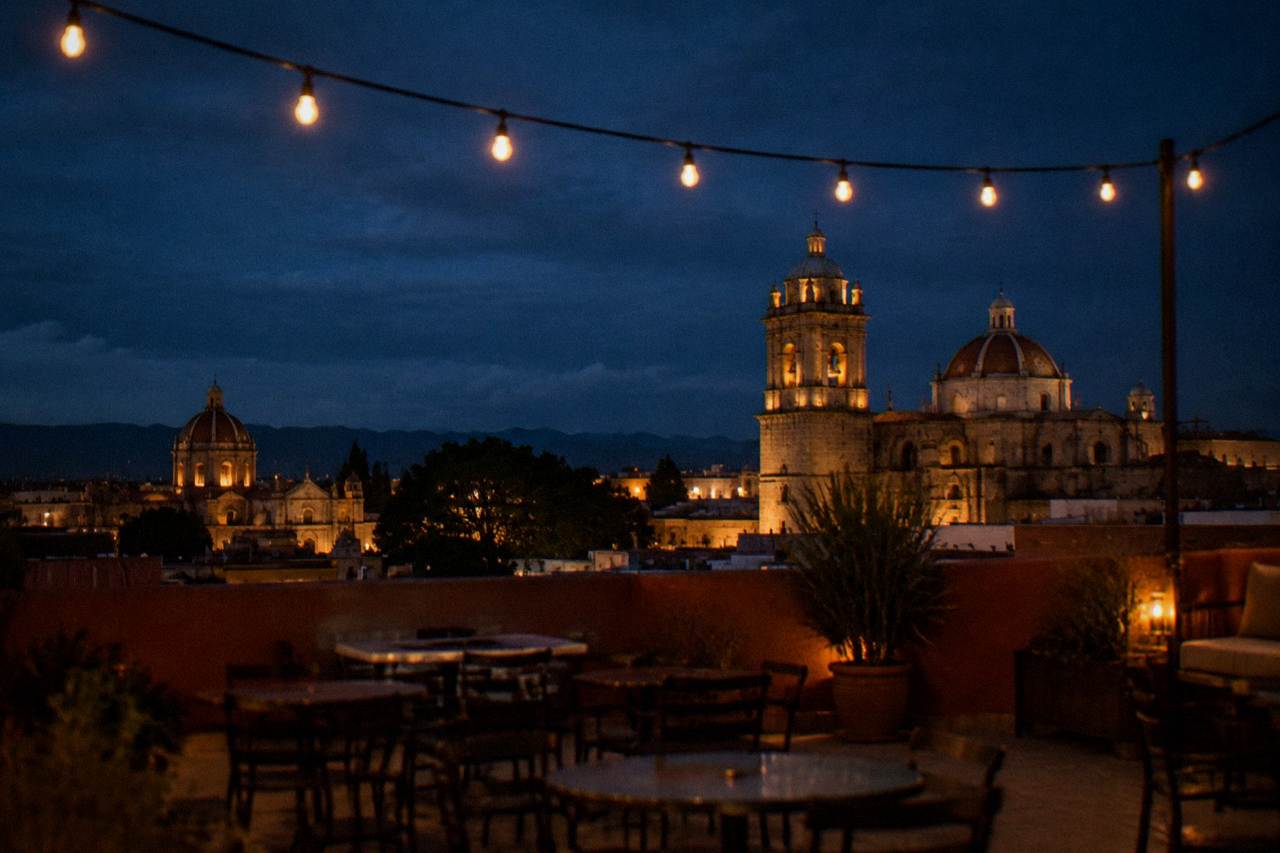
Rooftop bars, live music and mezcal after dark in Oaxaca City, with festival dates, climate figures and evening tours.
festivals
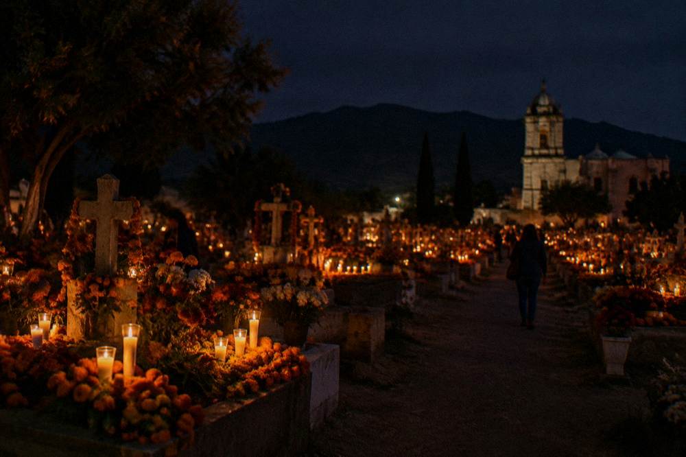
Cemetery nights, comparsas and altars: how Día de Muertos works in Oaxaca City, what is announced and how to plan around it.
festivals
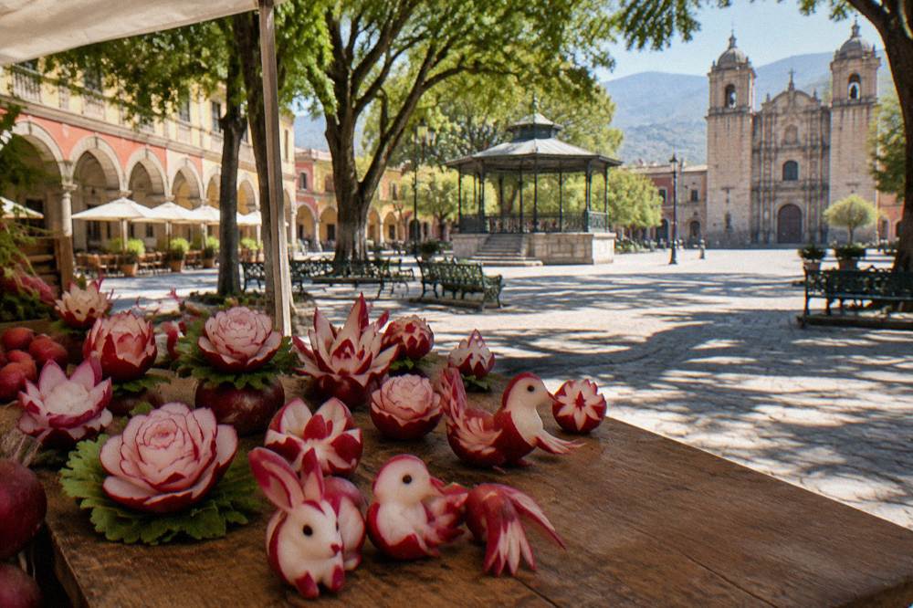
The radish carving night of 23 December in Oaxaca City's Zócalo, with the December weather table and planning advice.
festivals
The Oaxaca City festival calendar: Guelaguetza, Día de Muertos, Noche de Rábanos and the valley market days, month by month.
photography
Where to stand, when the light works, and which hours and fees the official sources actually set.
Where To Stay
Choose your Oaxaca City base by neighbourhood, season and budget, with climate and tax facts in hand.
planning
Where small hotels cluster in Oaxaca City, how the 3 percent lodging tax works, and which dates move availability hardest.
budget travel
Where to sleep cheap in Oaxaca City: neighbourhoods, lodging tax, walkability and timing, all from primary sources.
shopping
Crafts, mezcal, textiles and what to skip in Oaxaca City, market by market.
transport
Bus, flight or shuttle from Mexico City to Oaxaca City, plus what to do when you arrive.
comparisons
Which to visit first: the highland capital of Oaxaca or Mexico City, compared on facts, distances, weather and days needed.
comparison
Which highland colonial city fits your trip: an Oaxaca City guide against San Miguel de Allende, compared on climate, ruins, festivals and food.
comparison
Food, crafts and distance compared, with figures, festival dates and valley drive times.
museums
Hours, fees and planning for the museums of Oaxaca City, from the INAH museum at Santo Domingo to the free Jardín Etnobotánico tours.
history
The documented history of Oaxaca City, from the INAH archaeological zones to the UNESCO-listed colonial centre, with hours, fees and drive times.
planning
Where everything sits: city, valleys, ruins and coast, with real distances from the Zócalo.