area
Centro Histórico
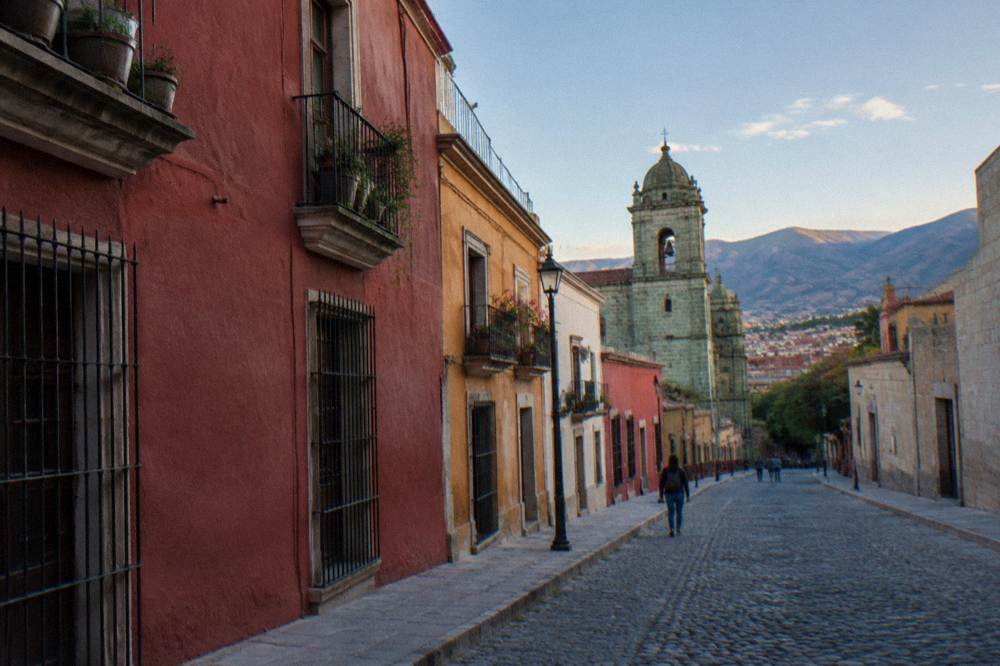
The UNESCO-listed colonial grid around Oaxaca City's Zócalo: sights, hours, fees and walking distances.
Centro Histórico, Jalatlaco, Xochimilco and the valley towns, area by area.
area
The UNESCO-listed colonial grid around Oaxaca City's Zócalo: sights, hours, fees and walking distances.
area
Where each barrio of Oaxaca City fits, from the Centro Histórico to Xoxocotlán.
area
Markets, food streets and bus links south of the Zócalo in Oaxaca City.
area
A quieter residential base north of the centre, with the whole of Oaxaca City and the Valles Centrales within reach.
area
The airport side of Oaxaca City: Xoxocotlán cemetery at Día de Muertos, the Feria del Mezcal venue in Santa Lucía del Camino, and how to use the area around a flight.
area
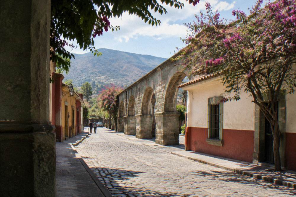
The aqueduct barrio north of Santo Domingo, with museum hours, garden tour times and walking distances.