Getting Around Oaxaca: On Foot, Taxi And Colectivo
Oaxaca City is compact, high, inland and walkable at its core, and almost everything beyond walking range is reached by taxi, colectivo or an organized day tour. Here is what the published sources actually say about each mode.
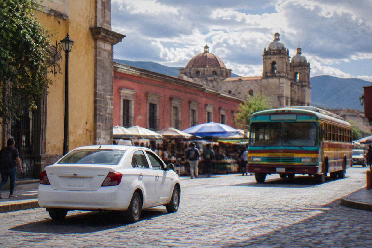
Oaxaca City's historic core is walkable end to end, taxis carry the trips too far or too hot to walk, and colectivos plus operated tours cover the valley sites such as Monte Albán, Mitla and Hierve el Agua.
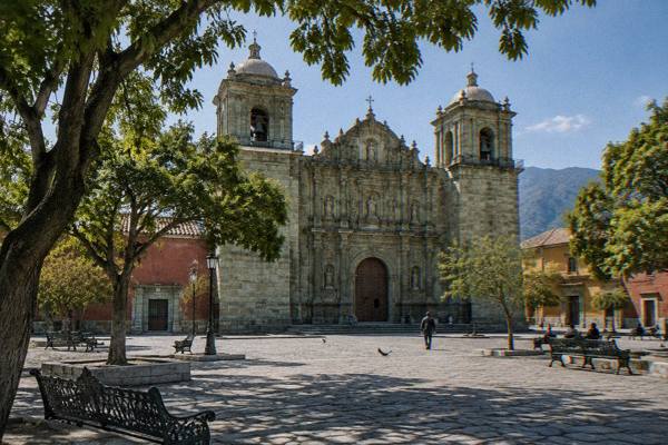
Oaxaca City, the capital of the state of Oaxaca in Mexico, is an inland highland city in the Valles Centrales at about 1,550 m, and its transport question answers itself faster than in most Mexican capitals: the historic core is small enough to cross on foot, taxis fill the gaps, and colectivos plus operated tours carry you out to Monte Albán, Mitla, Hierve el Agua and the craft villages. There is no sea, no port and no rail line into the valley, so every arrival is by air or by road. For the full sight picture, the root things to do in Oaxaca page carries the rest of the destination.
Is Oaxaca City Walkable Enough To Skip A Car?
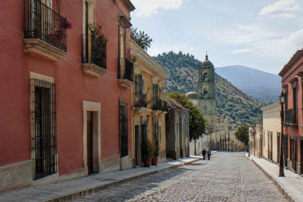
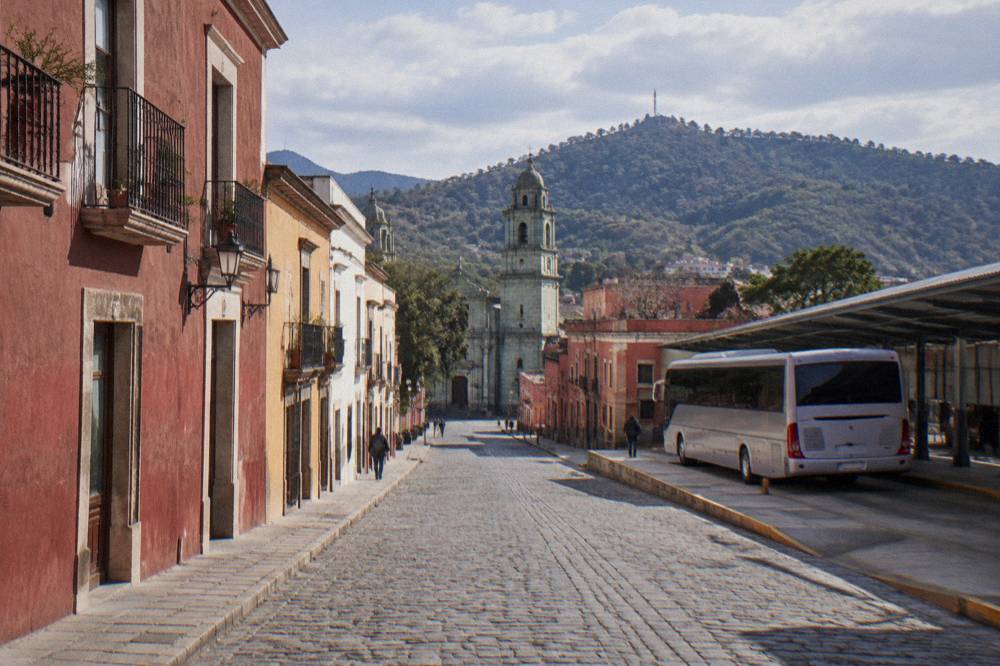
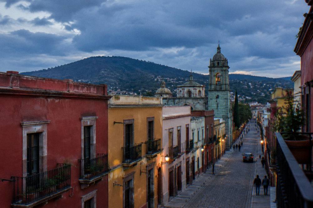
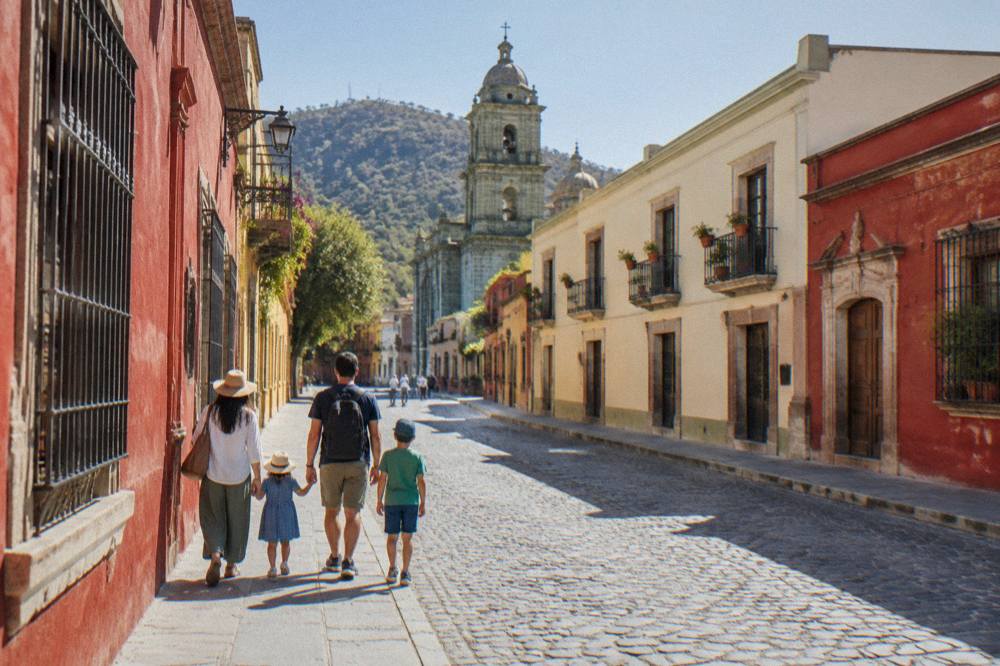
Yes for the historic core: the Zócalo, Santo Domingo de Guzmán, the Andador Macedonio Alcalá, Jalatlaco and Xochimilco all sit within a walkable band of each other, and the city's formal answer to walkability is the "Oaxaca Camina 2026" program, which temporarily closed Calle 20 de Noviembre to vehicles to widen sidewalks in the Centro Histórico. The same program confirms the city government treats the centre as pedestrian-first territory. Walking is the only mode that reaches the Andador Macedonio Alcalá and the market district at their own pace, and the Oaxaca Centro Histórico guide maps that core street by street.
Two practical factors shape walking here. The first is altitude: at about 1,550 m, the air is thinner than at sea level, and the SMN station normals put April's average daily high at 34.9 C, so midday walks run warm even in the dry season. The second is gradient: the centre is broadly flat between the Zócalo and Santo Domingo, but Cerro del Fortín rises immediately west of it, and Monte Albán's access road climbs steadily out of the valley. Neither stops a healthy walker in the centre; both argue against walking to the archaeological zones.
December and January nights average lows of 10.3 C and 11.0 C, which makes evening walks back from dinner a light-jacket affair rather than a warm one. The is Oaxaca safe to walk around at night answer covers the evening picture in detail. Within the centre, the honest summary of the sources is that a car buys you almost nothing.
| Walk in the core | What the sources support |
|---|---|
| Zócalo to Santo Domingo de Guzmán | Both lie in the Centro Histórico, connected by the Andador Macedonio Alcalá |
| Centro to Jalatlaco or Xochimilco | Both are named historic barrios of the city, adjacent to the centre |
| Centro to Cerro del Fortín | The hill rises directly west of the centre; the Auditorio Guelaguetza sits on it |
| Centro to Monte Albán | About 8.7 km by road, about 15 minutes driving; not a practical walk |
For a structured introduction to that walkable core, a short guided walk covers the layout, history and food stops in one pass, and this guide's pick for the purpose is below.
How Do Taxis, Uber And DiDi Work In Oaxaca City?
Taxis in Oaxaca City work on agreed fares rather than meters: you state the destination, agree the price before getting in, and ride-hailing apps such as Uber and DiDi operate in the city itself, while the airport is served only by its own authorised transport, so the arrival journey is arranged at the terminal rather than in an app. The city government does not publish a fixed taxi tariff this guide could verify, so the working rule is agreement before departure, every time. The taxis, Uber and DiDi in Oaxaca guide carries the fuller picture, including surge behaviour around the big festivals.
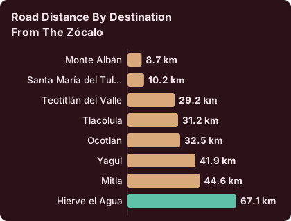
What the sources do establish about getting around by car in the valley is distance and time. Derived drive times from the Zócalo, computed on the road network in free-flow conditions and rounded up, give a reliable planning skeleton. Real traffic, market days and mountain roads make actual journeys slower than these figures, and this guide states them as "about" for exactly that reason.
| Destination from the Zócalo | Road distance | Free-flow drive time |
|---|---|---|
| Monte Albán | 8.7 km | about 15 minutes |
| Santa María del Tule | 10.2 km | about 11 minutes |
| Teotitlán del Valle | 29.2 km | about 26 minutes |
| Tlacolula | 31.2 km | about 25 minutes |
| Ocotlán | 32.5 km | about 37 minutes |
| Yagul | 41.9 km | about 38 minutes |
| Mitla | 44.6 km | about 37 minutes |
| Hierve el Agua | 67.1 km | about 57 minutes |
Those figures explain the transport pattern of the valley: everything inside about 10 km is an easy taxi hop, the craft villages between 25 and 40 km out sit in colectivo and tour territory, and Hierve el Agua, at about 57 minutes even in free flow, is a half-day commitment by any mode. The colectivos and mototaxis guide covers the shared-vehicle system that serves those middle distances.
One standing risk belongs in any road-transport discussion: road blockades by teachers' unions are a recurring feature of Oaxaca's protest calendar and can disrupt highway and airport access for hours at a time. This guide treats them as a known possibility on travel days rather than a dated event, and the practical response is simply schedule slack.
What Are Colectivos And When Should You Use Them In Oaxaca?
Colectivos are shared cars and vans that depart from fixed points in Oaxaca City when full and run set valley routes, including the Tlacolula Valley corridor towards Tlacolula, Mitla and Teotitlán del Valle, and they are the local, unscheduled backbone of valley travel alongside buses. They cost a fraction of a private taxi on those routes and leave frequently, but the fares are set locally and this guide does not quote them; the colectivo guide linked above explains how the system works in practice. You pay the driver, the vehicle leaves when it fills, and it drops passengers along the route.
The strength of the colectivo system is the east-west spine of the Tlacolula Valley, which strings together Santa María del Tule, Teotitlán del Valle, Tlacolula, Yagul, Dainzú, Lambityeco and Mitla in one corridor of under 45 km. That corridor is also where the INAH archaeological zones cluster, and their published hours and fees are what actually govern a colectivo-and-sites day, because a missed last-access time turns a cheap ride into a wasted one.
| INAH site | Hours | Last access | Fee, nationals | Fee, foreigners |
|---|---|---|---|---|
| Monte Albán | Mon to Sun 08:00 to 17:00 | 16:00 | 105 MXN | 210 MXN |
| Mitla | Mon to Sun 08:00 to 17:00 | 16:30 | 105 MXN | 210 MXN |
| Yagul | Mon to Sun 08:00 to 17:00 | 16:00 | 105 MXN | 210 MXN |
| Dainzú | Mon to Sun 08:00 to 17:00 | 16:30 | 80 MXN | 145 MXN |
| Lambityeco | Mon to Sun 08:00 to 17:00 | 16:30 | 80 MXN | 145 MXN |
| Zaachila | Thu to Sun 10:00 to 16:00 | published close 16:00 | 80 MXN | 145 MXN |
| Atzompa | Mon to Sun 08:00 to 16:00 | 15:00 | fee not published on the INAH page | fee not published on the INAH page |
| Museo de las Culturas de Oaxaca | Tue to Sat 10:00 to 16:00 | published close 16:00 | 105 MXN | 210 MXN |
Two traps in that table cost real trips. Zaachila opens Thursday to Sunday only, so a Monday colectivo run there meets a closed gate, and Atzompa stops admitting visitors at 15:00, an hour earlier than its neighbours. The INAH pages also list a 730 MXN rate for visits outside normal hours at several of these zones, which tells you the published schedule is the schedule.
For travellers who would rather not assemble a valley day from colectivo legs, last-access times and ticket queues, operated day tours cover the same corridor with the timing handled.
The choice between the two approaches usually comes down to how many stops a day holds. A single-site plan, above all Monte Albán, works comfortably as a taxi or tour half day, while a string of three or four valley stops rewards the operated loop, because the tour absorbs the timing risk that a colectivo day leaves with you.
How Do You Get To Monte Albán Without A Car?
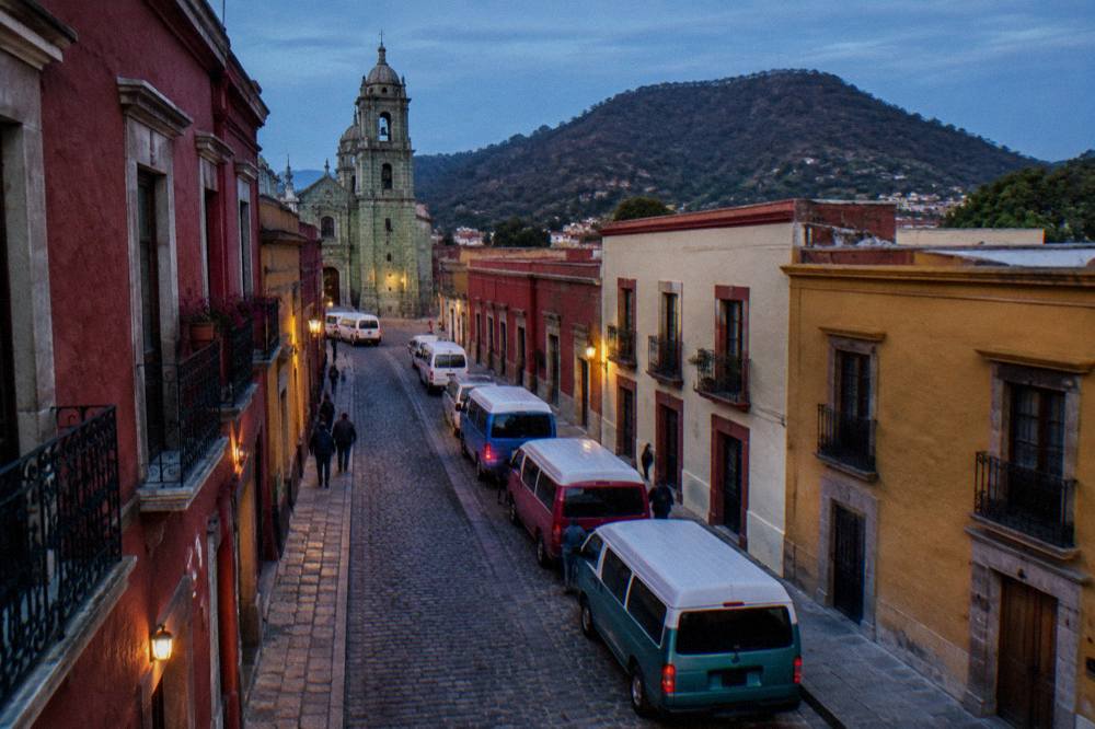
Monte Albán sits about 8.7 km and about 15 minutes by road above the city, and the car-free options are a taxi up and back, a colectivo or shuttle service, or an organized half-day tour, with the INAH zone open Monday to Sunday 08:00 to 17:00 and last access at 16:00. The site drew 416,675 visitors in 2025, by far the most visited of the state's INAH zones, which is why timing matters more than mode: arrive after mid-afternoon and the 16:00 last access, not the transport, ends the visit.
The road up is the Camino Dr. Ignacio Bernal route from the valley, and the state government records the paving of the old access road as completed and delivered in November 2024, with no current works announced on it. The tour option bundles the climb, the guide and the ticket into one movement, which is why it dominates for short stays; the site's own Monte Albán guide covers the zone itself, and the Monte Albán tour page compares the operated options. The related pick for this page is Check availability on the half-day tour that handles the transfer and the entry line together.
This guide's shortlist below includes that tour alongside the walking and market options that pair with it on a first visit.
How Do You Reach Hierve El Agua And The Tlacolula Valley?
Hierve el Agua lies about 67.1 km and about 57 minutes of free-flow driving east of the Zócalo, at the far end of the Tlacolula Valley, and the practical car-free options are a colectivo as far as Mitla or Tlacolula combined with local transport for the final climb, or an organized day tour that strings the valley's sites together. The state opened the Mitla to Tehuantepec supercarrefera in January 2025, which improved road conditions on that side of the valley, and no current blockades or works are reported on the access routes. Hierve el Agua itself is run by local communities rather than INAH, and no current fee or schedule is published for it, so this guide sends readers to the operator or the community rather than quoting a number.
The valley corridor makes Hierve el Agua a natural extension of a Mitla day, because the same eastbound route passes Santa María del Tule at about 11 minutes, Teotitlán del Valle at about 26 minutes, Tlacolula at about 25 minutes and Mitla at about 37 minutes. The Hierve el Agua guide and the Hierve el Agua day trip itinerary cover the destination in depth, and the Mitla and Tlacolula day trip page covers the corridor logic. The bare question of whether the drive is worth it is answered on is Hierve el Agua worth it.
For most short-stay travellers the honest comparison is simple: a colectivo day reaches the corridor cheaply but leaves the Hierve el Agua climb and the timing to you, while an operated tour covers the whole string in one departure. The wider set of guides lives on Oaxaca Travel Guide.
Should You Rent A Car In Oaxaca?
A rental car in Oaxaca pays off mainly for multi-stop valley days, the Sierra Norte or coast extensions, and travel on your own clock; for the historic core it is close to useless, because the Centro Histórico is pedestrian-oriented, street interventions are actively reducing car space, and every major near-in sight is a short taxi or tour ride away. The "Oaxaca Camina 2026" program that closed Calle 20 de Noviembre to traffic for sidewalk widening is the clearest signal of where the centre is going. The driving in Oaxaca guide covers licences, roads and fuel.
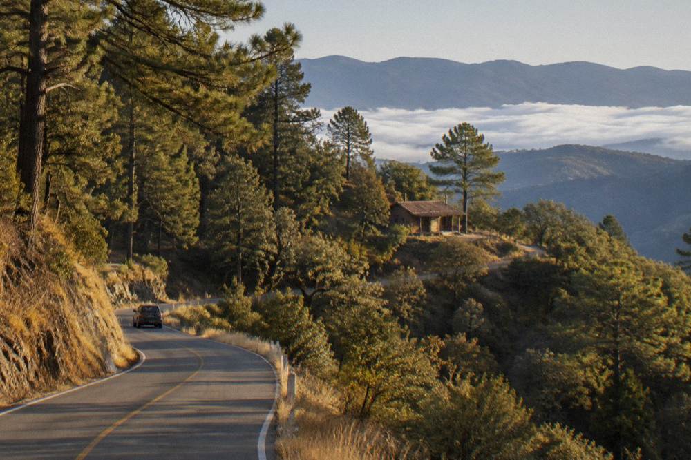
Where the car earns its keep is distance. Latuvi in the Pueblos Mancomunados is about 142 minutes of free-flow driving from the Zócalo, and Puerto Escondido on the coast is about 165 minutes on the new highway, with older guides quoting 2.5 to 3.5 hours in real conditions. Those are extensions, not day trips in the casual sense, and the Sierra Norte guide and the Oaxaca to Puerto Escondido page treat them accordingly. The standing caveat for any driving plan is the protest-blockade risk on the highways, which is real but sporadic.
| Extension from the Zócalo | Road distance | Free-flow drive time |
|---|---|---|
| Latuvi, Sierra Norte | 110.4 km | about 142 minutes |
| Puerto Escondido, Pacific coast | 190.1 km | about 165 minutes on the new highway |
How Do You Arrive In Oaxaca: Airport And Long-Distance Bus?
Oaxaca is served by Xoxocotlán International Airport (OAX), operated by ASUR, with published operating hours of 06:00 to 20:00, and by long-distance ADO buses on the road network, including the route to and from Mexico City, with the operator's own site at ado.com.mx carrying schedules and fares. The Oaxaca airport guide and flights to Oaxaca page cover arrivals in detail.
For the bus, the honest position is that ADO runs the corridor services, including the route to and from Mexico City, and that fares and journey times are set by the operator and change; the ADO bus guide, the Mexico City to Oaxaca page and its return counterpart explain what to check and when to book. What this guide can state about the arrival end is the geography: every one of these arrivals lands you in a valley city where the historic core is walkable and the valley is a table of about-15-minute to about-57-minute drives, which is the whole mental model of getting around Oaxaca in one sentence.
What Do The Seasons Change About Getting Around Oaxaca?
The rainy season runs May to October with June to September the peak, and June alone averages 188.3 mm of rain at the SMN station against January's 2.4 mm, so summer getting-around means afternoon downpours on valley roads and winter means dry, warm days with cool nights near 10 C. The climate figures are SMN station 20079 normals for 1991 to 2020, and they matter for transport because mountain roads to Hierve el Agua and the Sierra Norte, and cobblestone streets in the centre, behave differently wet versus dry. The best time to visit Oaxaca guide and the weather by month page carry the full picture, and Oaxaca in the rain covers the wet-month strategies.
| Month | Average daily high | Average daily low | Rainfall |
|---|---|---|---|
| January | 28.9 C | 10.3 C | 2.4 mm |
| March | 33.3 C | 13.6 C | 17.6 mm |
| June | 30.9 C | 16.7 C | 188.3 mm |
| September | 29.1 C | 16.1 C | 163.6 mm |
| November | 29.0 C | 12.3 C | 9.1 mm |
| December | 28.9 C | 11.0 C | 9.0 mm |
Festival periods change transport more than weather does. The Guelaguetza occupies the last two Mondays of July, with the 2026 edition on 20 and 27 July at the Auditorio Guelaguetza on Cerro del Fortín, and Día de Muertos centres on 31 October to 2 November in the traditional observance, with the Zócalo decorated in late October. Both bring surge conditions to taxis and ride-hailing and fill valley transport. The how many days in Oaxaca guide helps size a trip around them.
Getting Around Oaxaca With Kids, Groups Or Limited Mobility?
For limited mobility, the centre's flat core between the Zócalo and Santo Domingo is the most workable terrain, taxis are the dependable mode for everything else, and no bike-share scheme exists in Oaxaca, so anyone picturing app-based city bikes should plan around guided bike tours instead, which the tour list does offer. The INAH zones involve uneven ground and, at Monte Albán, a broad exposed plateau, so the practical call for slow walkers is the taxi-plus-tour combination rather than the colectivo system, whose shared vehicles keep no guarantees about space or waiting.
For families, the same logic holds with a different weight: the Oaxaca with kids guide builds on the walkable core plus short taxi hops, and a cooking class or market walk keeps everyone in the centre. Groups have one specific published constraint worth knowing: the Jardín Etnobotánico's free guided tours run Monday to Friday at 10:30, 11:00, 11:30, 12:00 and 17:00 and Saturday from 10:30 to 12:00, and large and school groups must book two weeks ahead. That is the only group-booking rule this guide could verify in the city, and it decides many group itineraries. The Jardín Etnobotánico guide covers the visit itself.
What Does Getting Around Oaxaca Cost?
Local transport costs that can be stated are the INAH admissions in pesos, 105 MXN for nationals and 210 MXN for foreigners at Category I zones such as Monte Albán, Mitla and Yagul, and 80 MXN and 145 MXN at Category III zones such as Dainzú, Lambityeco and Zaachila, while taxi, colectivo and ADO fares are not published in any source this guide could verify and are agreed with the operator. Bookable tours and classes price in USD through the operator's booking page. The travel costs and budget guide assembles the full picture, and the money, ATMs and cash guide covers how to carry it.
It appears on the hotel bill rather than the taxi receipt, but it is part of the same arithmetic, and the where to stay and best hotels pages fold it into accommodation planning.
| Item | Figure | Source |
|---|---|---|
| Monte Albán, Mitla, Yagul entry, nationals | 105 MXN | INAH site pages |
| Monte Albán, Mitla, Yagul entry, foreigners | 210 MXN | INAH site pages |
| Dainzú, Lambityeco, Zaachila entry, nationals | 80 MXN | INAH site pages |
| Dainzú, Lambityeco, Zaachila entry, foreigners | 145 MXN | INAH site pages |
| INAH visit outside normal hours | 730 MXN | listed on several INAH zone pages |
| State lodging tax | 3 percent, or 5 percent via platforms | decree 884, 10 December 2025 |
Common Questions About Getting Around Oaxaca
Is Oaxaca City Walkable?
Yes, in its historic core. The Zócalo, Santo Domingo de Guzmán, the Andador Macedonio Alcalá, Jalatlaco and Xochimilco sit close together on broadly flat ground, and the city's Oaxaca Camina 2026 program is actively widening sidewalks and restricting vehicles in the Centro Histórico. The archaeological zones are not walkable from the centre; Monte Albán is about 8.7 km by road.
Do Uber And DiDi Work In Oaxaca?
Arrival transport at Xoxocotlán airport is arranged at the terminal through its authorised services. The taxis, Uber and DiDi guide on this site covers the detail.
What Is The Best Way To Get Around Oaxaca?
On foot inside the Centro Histórico, by taxi for near trips such as Monte Albán at about 15 minutes by road, by colectivo for the Tlacolula Valley corridor, and by operated tour for multi-stop valley days such as Hierve el Agua at about 57 minutes of free-flow driving.
Are There Colectivos To Mitla And Teotitlán Del Valle?
Yes. Shared vehicles run the eastbound valley corridor that passes Santa María del Tule, Teotitlán del Valle at about 26 minutes by road, Tlacolula at about 25 minutes and Mitla at about 37 minutes. Fares are set locally and are not quoted here; the colectivos and mototaxis guide explains the system.
Can You Get To Monte Albán Without A Tour?
Yes, by taxi for the about 8.7 km, about 15 minute climb, or by shuttle services running to the site. The INAH zone opens Monday to Sunday 08:00 to 17:00 with last access at 16:00, and entry is 105 MXN for nationals and 210 MXN for foreigners, so timing the last access matters more than the mode of transport.
Is There A Bike-Share Scheme In Oaxaca City?
No bike-share scheme exists in Oaxaca. Guided bike tours do operate from the city, including rides to El Tule and street-art circuits, and they supply the bicycles themselves.
The complete picture, then, is a city whose centre asks for nothing but shoes, whose valley asks for either colectivo patience or a tour booking, and whose two rules, agree the taxi fare first and watch the INAH last-access times, cover almost every journey a visitor actually makes.