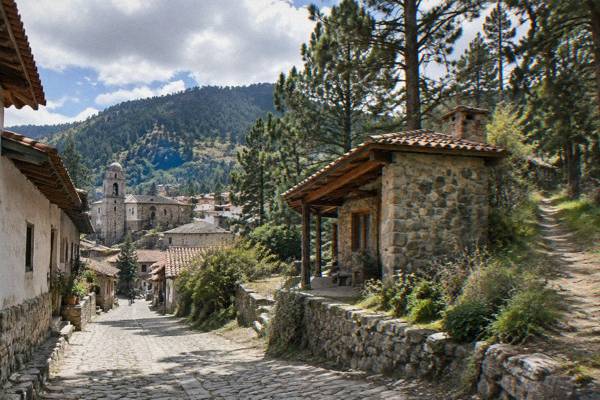
Sierra Norte And The Pueblos Mancomunados: Cabins, Trails And Cloud Forest
The Sierra Norte rises north of Oaxaca City, and its Pueblos Mancomunados villages sit roughly two and a half hours away by road. This guide covers the drive times, the guided hiking options that run from the city, what the climate tables say, and how the mountains compare with the valley day trips closer to town.
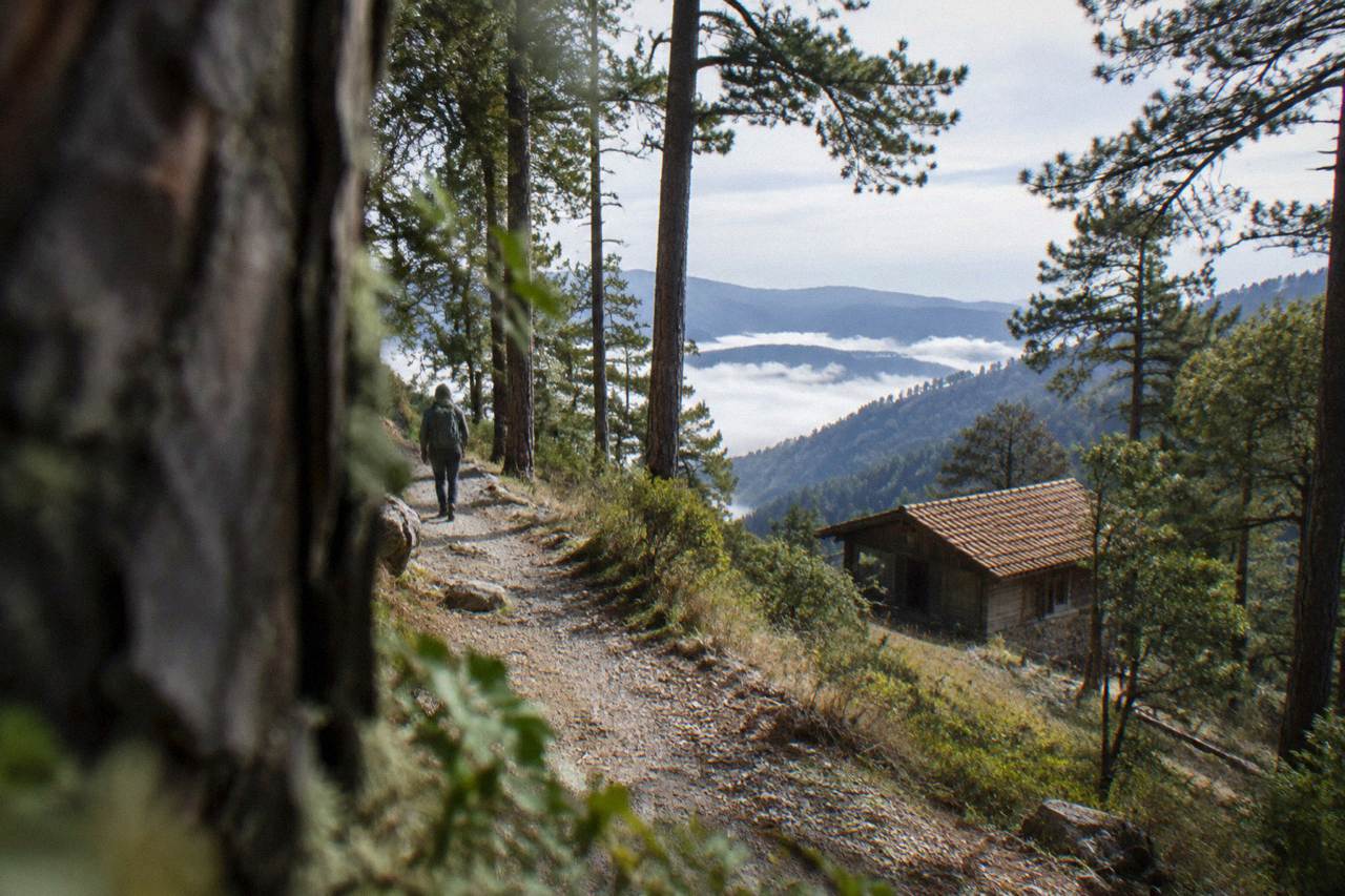
Guided hikes from the city are the practical way in, with options, weather figures and packing basics covered below.
Oaxaca City sits in the Valles Centrales at about 1,550 m, an inland highland capital with no sea and no beach, and the Sierra Norte is the mountain country that rises to its north. The Pueblos Mancomunados villages sit up in those mountains, and the free-flow drive from the Zócalo to Latuvi, one of them, runs about 110.4 km and takes about 142 minutes according to the routing distances this site carries. That makes the region a different proposition from Monte Albán or Hierve el Agua: a long mountain day, best planned around a guided hike, a cabin stay or a slow overnight rather than a quick spin out of town. This page sets out what the published figures support, from drive times and climate normals to the guided products that run from the city, and it links out to the full Oaxaca things-to-do index for the wider picture.
Where Are The Sierra Norte And The Pueblos Mancomunados Relative To Oaxaca City?
The Sierra Norte is the mountain region north of Oaxaca City, and the Pueblos Mancomunados are villages within it, reached by mountain roads rather than by a short hop. The routing figure this site carries puts Latuvi at about 110.4 km from the Zócalo, about 142 minutes of free-flow driving, and real traffic and mountain roads are slower than that. No figure carried on this site gives a bus time or a fare for the run.
Oaxaca City is the base for everything on this page. The state capital sits inland, in the Valles Centrales, and the Sierra Norte is one of the state's mountain regions, the one that lies north of the city. The village names that recur on the tour listings for the area include Cuajimoloyas and Latuvi, and Latuvi carries the only routing distance available for the region: 110.4 km and about 142 minutes from the Zócalo, computed on OpenStreetMap roads at free flow. That is a derived figure, not an official one, and mountain roads in real conditions take longer than the model says.
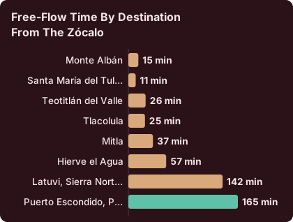
What that distance does to a plan is simple. Monte Albán is about 15 minutes from the Zócalo, Mitla about 37, Hierve el Agua about 57, and then the Sierra Norte sits in a different band entirely, about 142 minutes to Latuvi before you have walked anywhere. A day trip is possible, and guided products run exactly that way, but the drive is the single biggest factor in the day, and it is the reason the region suits either a guided outing that handles the road, or an overnight in village accommodation with the trails on the doorstep.
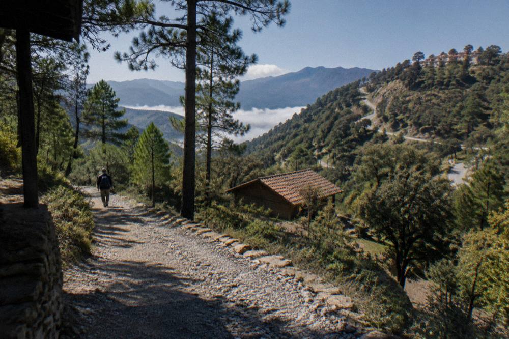
The village that carries its own dedicated guide on this site is Capulalpam de Méndez, and the Capulalpam de Méndez guide covers it in detail.
What Does A Guided Sierra Norte Hike From Oaxaca City Include?
Guided Sierra Norte hikes from Oaxaca City cover transport out of the city, a walk on mountain trails with a guide, and the return leg, with the operator's booking page stating the exact inclusions.
The featured product for this page is the Cuajimoloyas hike. Cuajimoloyas is one of the mountain villages north of the city, and the guided format answers the two hard parts of a Sierra Norte day at once: the long mountain drive and the trail finding. You can also check it directly with Check availability on the operator's booking page.
Two further products round out the tour list's mountain coverage. One is a trek in Benito Juárez National Park, an area that also sits in the Sierra Norte north of the city. The other is a trails-focused hike whose listing titles it around the Sierra Norte's walking routes. Neither can be described here in detail beyond what the listings state, and both blocks below print their own figures.
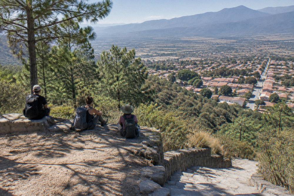
How Do The Sierra Norte Drive Times Compare With Oaxaca's Other Day Trips?
Latuvi in the Sierra Norte is about 110.4 km and about 142 minutes from the Zócalo in free-flow conditions, which places it well beyond every Valles Centrales day trip: Monte Albán about 15 minutes, Hierve el Agua about 57, and even Mitla only about 37. The Pacific coast is farther still, about 165 minutes to Puerto Escondido on the new highway. All of these are derived routing figures, not official ones.
The table below pulls the drive times together from the routing data this site carries. Every figure is derived, computed on OpenStreetMap roads from the Zócalo at free flow, and every one needs the word "about" in front of it. Real traffic, road works and mountain grades push the real numbers up.
| Destination from the Zócalo | Distance (km, approx.) | Free-flow time (approx.) |
|---|---|---|
| Monte Albán | 8.7 | 15 minutes |
| Santa María del Tule | 10.2 | 11 minutes |
| Teotitlán del Valle | 29.2 | 26 minutes |
| Tlacolula | 31.2 | 25 minutes |
| Mitla | 44.6 | 37 minutes |
| Hierve el Agua | 67.1 | 57 minutes |
| Latuvi, Sierra Norte | 110.4 | 142 minutes |
| Puerto Escondido, Pacific coast | 190.1 | 165 minutes |
The comparison matters for planning. A Sierra Norte day from the city spends roughly five hours of it on the road before any stop, which is why the guided products bundle the whole run. By contrast the Tlacolula Valley options, covered in the Hierve el Agua day trip guide and the Mitla and Tlacolula day trip guide, sit close enough for market stops, ruins and craft villages in one loop. The two regions are not substitutes: the valley gives archaeology and food, the mountains give forest walking and thin air.
Oaxaca City has no public bike-share system, and no bike-rental price or trail distance is sourced for the Sierra Norte, so those details are left to the operators and the village accommodations. The only cycling products in the tour list run gravel and street-art loops out of the city, not mountain routes in the Sierra Norte.
What Is The Weather Like In The Sierra Norte And Around Oaxaca City?
Oaxaca City's climate normals show a dry season from November to April and a rainy season from May to October, with June averaging 188.3 mm of rain across 19.9 rain days and January 2.4 mm across 1.4 days. The Sierra Norte sits higher than the city, so the same seasonal rhythm arrives with cooler conditions.
The climate table for Oaxaca City comes from the SMN station normals for 1991 to 2020. It is the only climate source on this site, and it describes the city, not the mountains. Still, the seasonal shape is the planning tool: the dry months carry the walking weather, and the June-to-September window carries the rain. The wider set of guides lives on Oaxaca Travel Guide.
| Month | Mean daily high (C) | Mean daily low (C) | Rain (mm) | Days with rain |
|---|---|---|---|---|
| January | 28.9 | 10.3 | 2.4 | 1.4 |
| February | 31.1 | 11.6 | 4.6 | 1.1 |
| March | 33.3 | 13.6 | 17.6 | 4.1 |
| April | 34.9 | 15.8 | 47.3 | 7.6 |
| May | 33.8 | 16.7 | 97.9 | 13.7 |
| June | 30.9 | 16.7 | 188.3 | 19.9 |
| July | 30.1 | 15.9 | 118.6 | 20.4 |
| August | 30.0 | 15.9 | 131.8 | 20.5 |
| September | 29.1 | 16.1 | 163.6 | 21.4 |
| October | 29.3 | 14.5 | 63.1 | 12.0 |
| November | 29.0 | 12.3 | 9.1 | 3.5 |
| December | 28.9 | 11.0 | 9.0 | 2.4 |
What can be said plainly is that the Sierra Norte is higher than the city's about 1,550 m, that guided hikes there run year-round as products, and that the rainy-season months, June through September, are the ones where a trail day carries the most weather risk on paper. The Oaxaca weather by month guide carries the city figures in more depth, and the rainy season guide covers what to do when the rain wins.
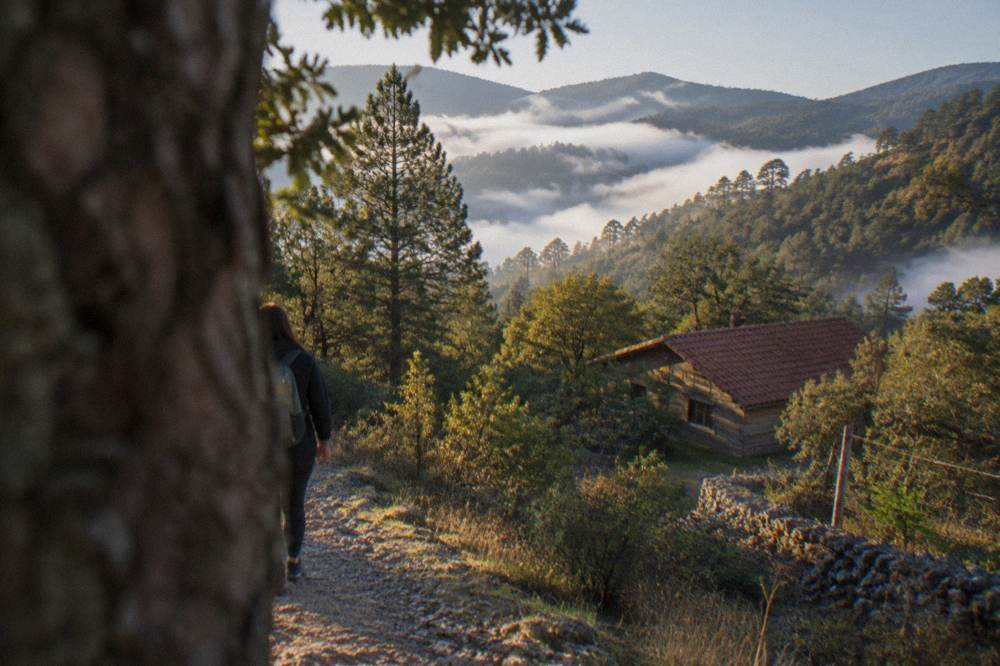
Where Do Cabins And Overnight Stays Fit In A Pueblos Mancomunados Trip?
The Pueblos Mancomunados pattern, as the tour listings and this site's coverage present it, is village-based stays with trails on the doorstep, which turns the 142-minute drive into an investment rather than a commute. No cabin price, booking channel or room inventory is published, so those details stay with the operators and the villages themselves.
The honest framing is that a day trip and an overnight serve different trips. A guided day hike from the city fits the mountains into a wider Oaxaca stay, the format every product in the tour list uses. An overnight in one of the villages, by contrast, buys early mornings on the trails and a slower rhythm, at the cost of carrying the planning yourself: the road, the stay and the walking route all sit outside the tour framework. This site's coverage of the region is anchored by the Capulalpam de Méndez guide, the one village with a dedicated page, and by the hiking products that run from the city.
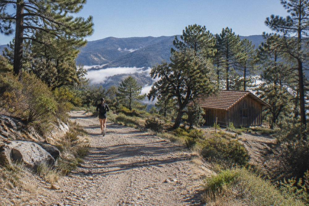
For visitors building a longer stay, the Oaxaca in a week itinerary is the natural frame: a week comfortably holds the city, one or two valley loops and a mountain day or overnight. Visitors with fewer days should read the valley options first, because the Teotitlán del Valle guide and the valley loop pages deliver a lot per minute of driving compared with the Sierra Norte's long run north.
What Should You Pack For A Sierra Norte Day Trip From Oaxaca City?
Pack for a mountain day layered over a warm-city morning: walking shoes, layers for cooler mountain air, rain protection in the May-to-October season, water, sun protection for the exposed stretches, and cash, since no card-acceptance detail for the villages is published. The city itself sits at about 1,550 m, and the Sierra Norte sits higher.
The layers point follows from the normals. In the city, January nights average 10.3 C and April afternoons 34.9 C on the mean daily high, and the mountain villages run cooler than the city on both ends of the day. A hike that starts in warm valley sun can finish in cool forest air, and the rainy season adds afternoon rain to the arithmetic: June, July, August and September all average more than 118 mm of rain and more than 19 rain days each in the city's table.
| Season (city normals) | Months | Rain picture | Packing implication |
|---|---|---|---|
| Dry season | November to April | 2.4 to 47.3 mm per month | Sun protection, layers for cool mornings |
| Early rainy season | May to June | 97.9 mm rising to 188.3 mm | Rain shell, quick-dry clothing |
| Peak rainy months | June to September | 118.6 to 188.3 mm, 19 to 21 rain days | Full rain kit, waterproof footwear |
| Late rainy season | October | 63.1 mm, 12.0 rain days | Rain shell, trail conditions vary |
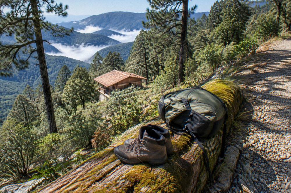
Footwear deserves the last word. The operator's booking page for each product states the exact scope, and that is where the specifics live.
How Does A Sierra Norte Day Compare With A Valley Day Trip From Oaxaca City?
A Sierra Norte day is a forest-and-altitude day built around a long drive of about 142 minutes each way to Latuvi, while a valley day trip reaches Mitla in about 37 minutes and Hierve el Agua in about 57, trading the mountain air for archaeology, markets and mezcal.
The practical difference is time allocation. On a valley loop, the driving is short enough that a single day can stack stops, the pattern behind the Tlacolula Sunday market guide and the Santiago Matatlán mezcal route guide. On a Sierra Norte day, the drive is the spine of the itinerary, and the walking is the reward at the end of it.
| Day trip from the Zócalo | Region | Approx. free-flow time | Character of the day |
|---|---|---|---|
| Monte Albán | Valles Centrales | 15 minutes | Archaeological site, short run |
| Teotitlán del Valle | Valles Centrales | 26 minutes | Weaving village, craft stops |
| Mitla | Tlacolula Valley | 37 minutes | INAH archaeological zone |
| Hierve el Agua | Tlacolula Valley | 57 minutes | Springs and long loop day |
| Cuajimoloyas / Latuvi | Sierra Norte | 142 minutes to Latuvi | Mountain hike, forest trails |
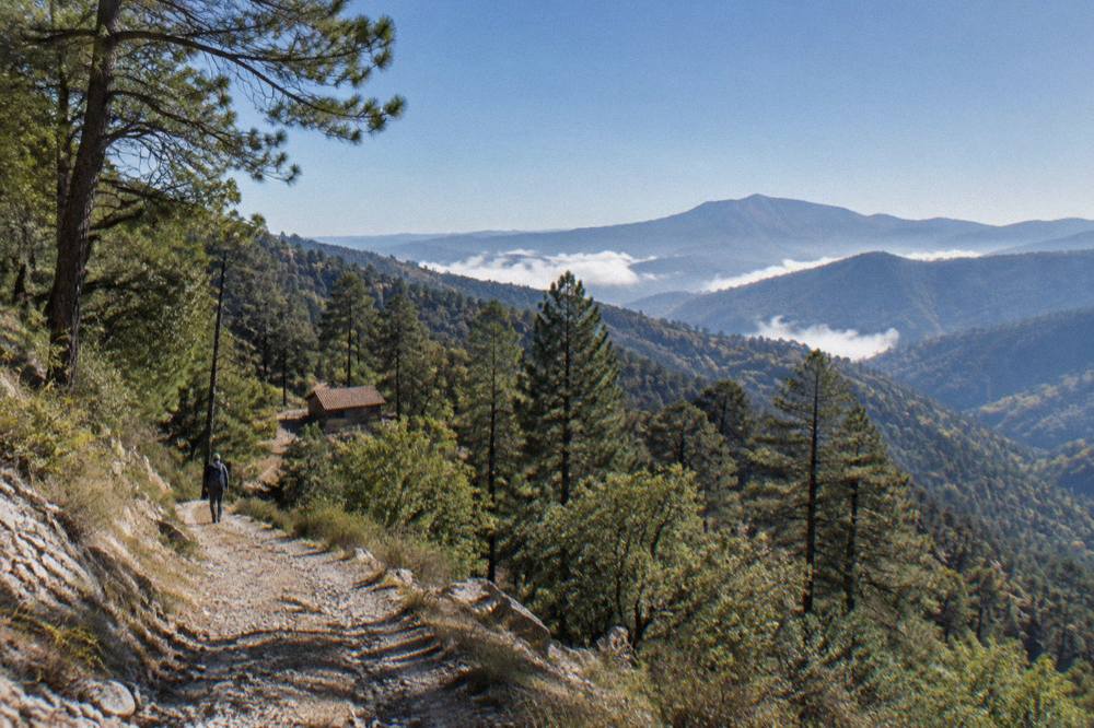
What the figures do support is the split itself: the valley delivers density of stops, the mountains deliver elevation and forest, and a week-long stay is long enough for both. Visitors deciding between mountains and coast should note that Puerto Escondido, at about 165 minutes on the new highway per the derived figure, is an extension in its own right, not a day trip, and the Oaxaca to Puerto Escondido guide covers that road separately.
Which Guided Walks In Oaxaca City Pair Well Before Or After A Mountain Day?
The tour list's city walks, a historic-centre walking tour and a Day of the Dead evening walk with dinner, pair naturally with a Sierra Norte day because they run in town and need no driving, and the blocks below print their prices, ratings and durations. The mountains take a full day; the city products fill the evenings and half-days around it.
The logic is one of energy budgeting. A Sierra Norte hike consumes a day and a long drive, so the days around it suit lighter formats: a two-hour walking format in the historic centre, or an evening food-led walk if the trip falls in the late-October window when the city fills with Día de Muertos activity. No 2026 festival programme is announced in the sources this site carries, so the standing pattern is all any page here can state: the festival centres on 31 October to 2 November in the traditional calendar.
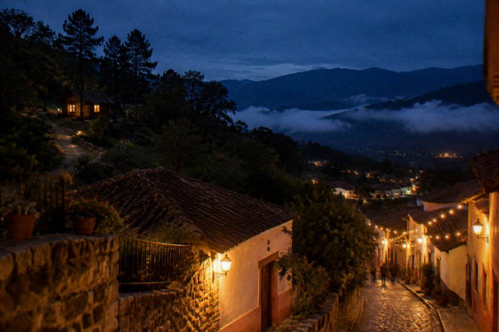
The food dimension of the city deserves its own slot on any mountain-and-city plan, and the Oaxaca food tour guide covers the tasting walks, while the Oaxaca mezcal tour guide covers the tastings. The pairing that recurs on itineraries is simple: hike the mountain on the clear day, walk and eat in town on the flexible ones.
Common Questions About The Sierra Norte And The Pueblos Mancomunados
How Far Is The Sierra Norte From Oaxaca City?
The routing figure this site carries puts Latuvi, one of the Pueblos Mancomunados, at about 110.4 km and about 142 minutes of free-flow driving from the Zócalo. It is a derived figure, not an official one, and real mountain roads run slower.
Can You Visit The Pueblos Mancomunados As A Day Trip From Oaxaca City?
Yes, as a guided day. An overnight in village accommodation is the alternative that shortens each walking day.
What Is The Best Time Of Year For Sierra Norte Hiking From Oaxaca City?
This site publishes no best-months ranking, because no official source carries one. The city's normals show the dry season from November to April, with 2.4 mm of rain in January, and the rainy season from May to October, with 188.3 mm in June across 19.9 rain days.
Are There Cabins In The Pueblos Mancomunados?
Village stays are part of the region's pattern as this site's coverage presents it.
How Does The Sierra Norte Drive Compare With Hierve El Agua Or Mitla?
Hierve el Agua is about 57 minutes from the Zócalo and Mitla about 37, both in the Tlacolula Valley, while Latuvi in the Sierra Norte is about 142 minutes. All figures are free-flow routing estimates and say "about".
Is The Sierra Norte Colder Than Oaxaca City?
The city sits at about 1,550 m and the Sierra Norte is higher, so mountain conditions run cooler than the city on paper. No station normals for the villages are published in this site's sources, so no mountain temperature figure appears here.
The Sierra Norte rewards the planning you put into the drive: pick the guided hike that matches the day you want, pack for cool mountain air and the season's rain, and let the valley loops fill the rest of the week.