Tlacolula Sunday Market: The Valley's Biggest Weekly Tianguis
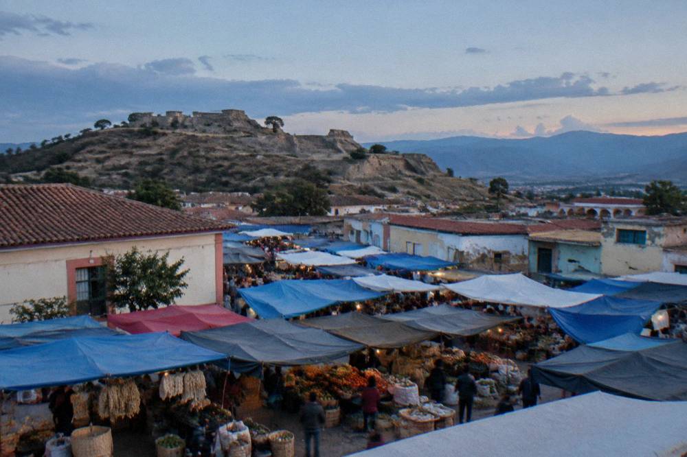
Tlacolula de Matamoros sits about 25 minutes by road east of Oaxaca City in the Valles Centrales, and its weekly tianguis gives a full day-trip loop that also takes in Mitla, Yagul, Santa María del Tule and Hierve el Agua.
Tlacolula lies about 31 km, roughly a 25-minute drive, east of the Oaxaca City Zócalo. The weekly market shares the Tlacolula Valley with Category I INAH sites at Mitla and Yagul, both open 08:00 to 17:00 and charging 105 MXN for nationals and 210 MXN for foreign visitors.
The Tlacolula Sunday Market takes its name from Tlacolula de Matamoros, a town in the Tlacolula Valley about 31 km east of Oaxaca City, the inland highland capital of the state of Oaxaca in the Valles Centrales at about 1,550 m. The valley holds several of the destinations a first-time visitor to Oaxaca most often plans around: Monte Albán sits on its western flank above the city, while Mitla, Yagul, Santa María del Tule, Teotitlán del Valle and Hierve el Agua string out east along the same corridor. For the full sweep of options in the capital, see the companion page on Oaxaca Travel Guide and the root guide to things to do in Oaxaca.
What Is The Tlacolula Sunday Market In Oaxaca?
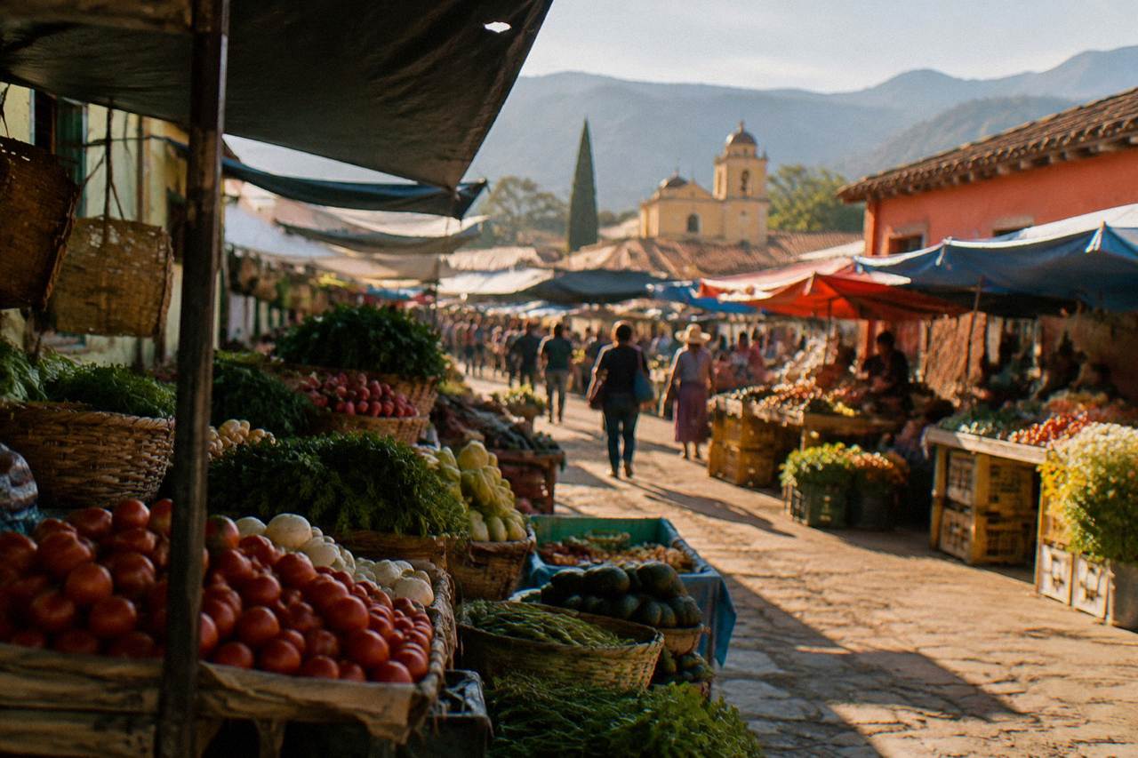
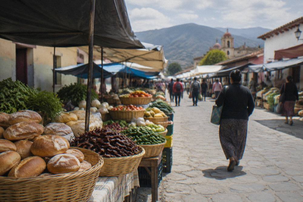
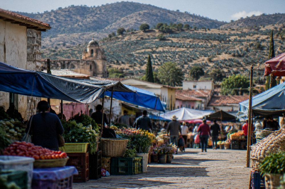
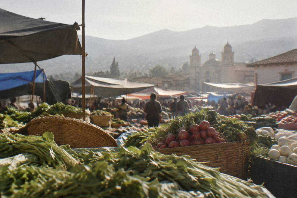
The Tlacolula Sunday Market is the weekly tianguis of Tlacolula de Matamoros, a town about 31 km east of Oaxaca City in the Tlacolula Valley, part of the Valles Centrales of Oaxaca. The state government describes the regional tianguis of the Valles Centrales communities, including Tlacolula, as markets that guard the identity and traditions of Oaxaca, with roots in regional exchange. No official source publishes opening hours for it.
Oaxaca's own state communications describe the markets of Oaxaca as places that safeguard identity and traditions, and they place the regional tianguis of the Valles Centrales, Tlacolula among them, in that tradition of exchange between communities. That framing comes from oaxaca.gob.mx releases on the markets of the state. The same releases note the historic central markets of the capital, including Mercado 20 de Noviembre, founded in 1893, with tianguis elements on Saturdays, and Mercado Benito Juárez, inaugurated in 1894.
What no primary source publishes is a set of opening hours for the Tlacolula market, a fee, or a schedule of stalls. The dishes of the valley are named freely: tlayuda, mole, tejate, chapulines and quesillo are the standard food words of Oaxaca, and each has a companion page on this site.
For orientation before the trip, the Mitla and Tlacolula day trip guide covers the same corridor in detail, and the answer page on what the Tlacolula market is known for addresses the question directly.
How Far Is Tlacolula From Oaxaca City And How Do You Get There?
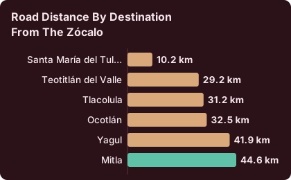
Tlacolula de Matamoros lies about 31.2 km from the Zócalo of Oaxaca City by road, a free-flow drive of about 25 minutes, computed on OpenStreetMap routes and not an official figure. Real traffic is slower. The valley corridor continues past Tlacolula to Mitla at about 44.6 km and roughly 37 minutes, and on to Hierve el Agua at about 67.1 km and roughly 57 minutes from the Zócalo.
These drive times are derived figures, measured along mapped roads without traffic, so treat them as floors rather than promises. Mountain roads, market-day congestion in the towns themselves and road events all add time. The distances in straight-line terms from places data are shorter: Mitla about 42 km, Hierve el Agua about 52 km, Zaachila about 12 km.
The valley towns sit along one east-west corridor, which is why a single day can chain them. Santa María del Tule, with its famous tree, comes first at about 10.2 km and 11 minutes, then Teotitlán del Valle at about 29.2 km and 26 minutes, then Tlacolula, then Yagul at about 41.9 km and 38 minutes, then Mitla, and finally Hierve el Agua up the side road beyond Mitla.
| Destination from the Zócalo | Road distance | Free-flow drive time |
|---|---|---|
| Santa María del Tule | 10.2 km | about 11 minutes |
| Teotitlán del Valle | 29.2 km | about 26 minutes |
| Tlacolula | 31.2 km | about 25 minutes |
| Ocotlán | 32.5 km | about 37 minutes |
| Yagul | 41.9 km | about 38 minutes |
| Mitla | 44.6 km | about 37 minutes |
Many visitors let someone else do the driving. The featured option on this page is the Hierve el Agua, Mitla, Tule, Rugs and Mezcal day tour, which chains the whole eastern corridor from Oaxaca City in one booked day, and you can Check availability on the operator's booking page.
What Can You Combine With The Tlacolula Market Day Around Oaxaca?
The realistic pairings are the sites along the same eastern corridor: Mitla and Yagul for archaeology, Santa María del Tule on the way out, Teotitlán del Valle for weaving, and Hierve el Agua at the far end at about 57 minutes of free-flow driving from the Zócalo. Ocotlán, at about 37 minutes, and Zaachila, closer still, sit on a separate southern axis and pair better with each other than with Tlacolula.
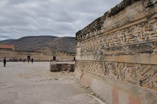
Mitla is the anchor. The INAH page for the zone lists Monday to Sunday hours of 08:00 to 17:00 with last access at 16:30, and Category I entry of 105 MXN for nationals and 210 MXN for foreign visitors. Yagul, about 15 minutes closer to the city, lists 08:00 to 17:00 with last access at 16:00 at the same Category I rates. Both drew visitors in numbers the state tourism report counts for 2025: Mitla 104,428 and Yagul 10,185, against 416,675 at Monte Albán, which sits west of the city rather than in the Tlacolula Valley.
The dedicated Hierve el Agua day trip guide covers what is known. Teotitlán del Valle, has its own page, as does the mezcal route through Santiago Matatlán, which lies beyond Mitla at the far end of the valley.
For a different day of the week, the southern axis holds its own market towns: see Ocotlán and the Friday market and Zaachila and the Thursday market, keeping in mind that the Zaachila archaeological zone opens Thursday to Sunday, 10:00 to 16:00 only.
What Do The INAH Sites Near Tlacolula Cost And When Are They Open?
Mitla and Yagul are Category I INAH zones: 105 MXN for Mexican nationals and 210 MXN for foreign visitors, both open Monday to Sunday. Mitla runs 08:00 to 17:00 with last access at 16:30, Yagul 08:00 to 17:00 with last access at 16:00. Dainzú and Lambityeco, also in the valley corridor, are Category III at 80 and 145 MXN. Visits outside normal hours cost 730 MXN.
The INAH listings themselves are the source for every figure in that answer. Two traps catch planners. First, the categories differ: Monte Albán, Mitla and Yagul share the Category I rate, while Dainzú, Lambityeco and Zaachila charge the lower Category III rate, so a day that mixes sites mixes prices. Second, last-access times differ from closing times, and Mitla's 16:30 cutoff differs from Yagul's 16:00 even though both close at 17:00.
Atzompa, west of the city above Monte Albán, lists 08:00 to 16:00 with last access at 15:00; its entry fee does not appear on the INAH hours page. The Museo de las Culturas de Oaxaca at Santo Domingo, back in the city, opens Tuesday to Saturday only, 10:00 to 16:00, at 105 and 210 MXN.
| INAH site | Days | Hours | Last access | MXN national | MXN foreign |
|---|---|---|---|---|---|
| Monte Albán | Mon to Sun | 08:00 to 17:00 | 16:00 | 105 | 210 |
| Mitla | Mon to Sun | 08:00 to 17:00 | 16:30 | 105 | 210 |
| Yagul | Mon to Sun | 08:00 to 17:00 | 16:00 | 105 | 210 |
| Dainzú | Mon to Sun | 08:00 to 17:00 | 16:30 | 80 | 145 |
| Lambityeco | Mon to Sun | 08:00 to 17:00 | 16:30 | 80 | 145 |
| Zaachila | Thu to Sun | 10:00 to 16:00 | listed hours only | 80 | 145 |
| Atzompa | Mon to Sun | 08:00 to 16:00 | 15:00 | fee not on the page | fee not on the page |
What Is The Weather Like In Tlacolula And The Oaxaca Valley?
The Oaxaca climate normals from SMN station 20079, covering 1991 to 2020, show a dry season from November to April and a rainy season from May to October with its peak from June to September. June averages 188.3 mm of rain across 19.9 days with rain, while January averages 2.4 mm across 1.4 days. April has an average maximum of 34.9 C, and January an average minimum of 10.3 C.
The station sits in the city itself, and the valley towns share the same highland pattern: warm afternoons, cool nights, and a hard split between the two halves of the year. November through March each average under 20 mm of rain. The rain, when it comes in the wet months, falls on roughly one day in three at the peak, and the annual total is 853.3 mm.
No official source ranks the months for visiting. The figures speak for themselves, and any month choice trades afternoon rain risk against the green of the valley. The full month-by-month breakdown, including temperature rows, sits on the climate pages of this site.
| Month | Avg high C | Avg low C | Rain mm | Days with rain |
|---|---|---|---|---|
| Jan | 28.9 | 10.3 | 2.4 | 1.4 |
| Apr | 34.9 | 15.8 | 47.3 | 7.6 |
| Jun | 30.9 | 16.7 | 188.3 | 19.9 |
| Sep | 29.1 | 16.1 | 163.6 | 21.4 |
| Nov | 29.0 | 12.3 | 9.1 | 3.5 |
Altitude matters for the day itself. Oaxaca City sits at about 1,550 m, and the valley floor around Tlacolula is comparable highland country, so the sun bites even when the thermometer reads mild, and evenings cool quickly. Bring layers for an early start and sun protection for midday, the same packing logic as the general Oaxaca travel tips page.
What Food Names Should You Know Before A Tlacolula Market Day From Oaxaca?
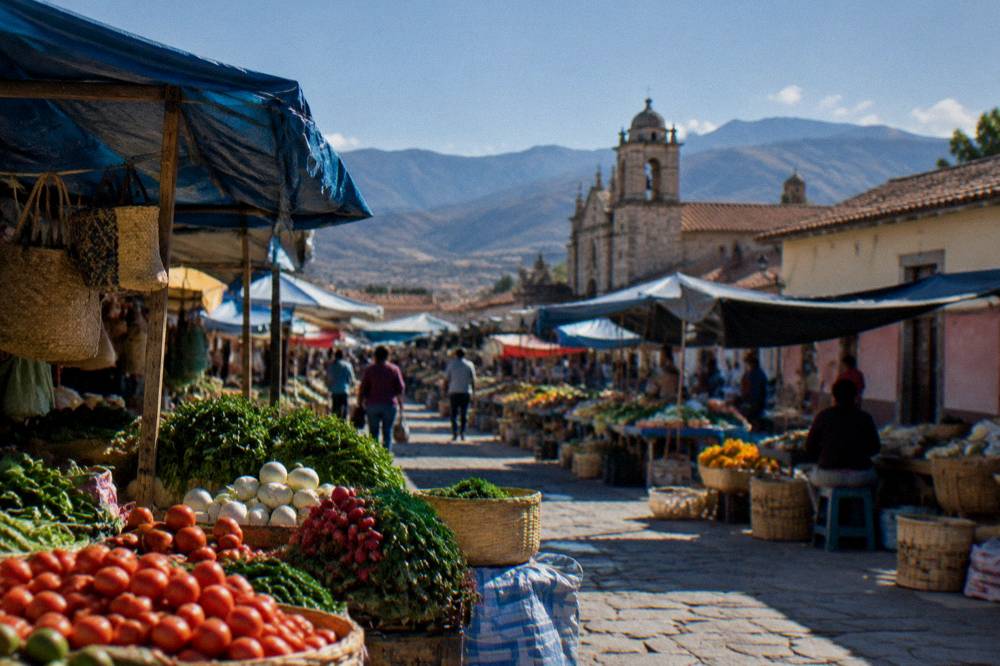
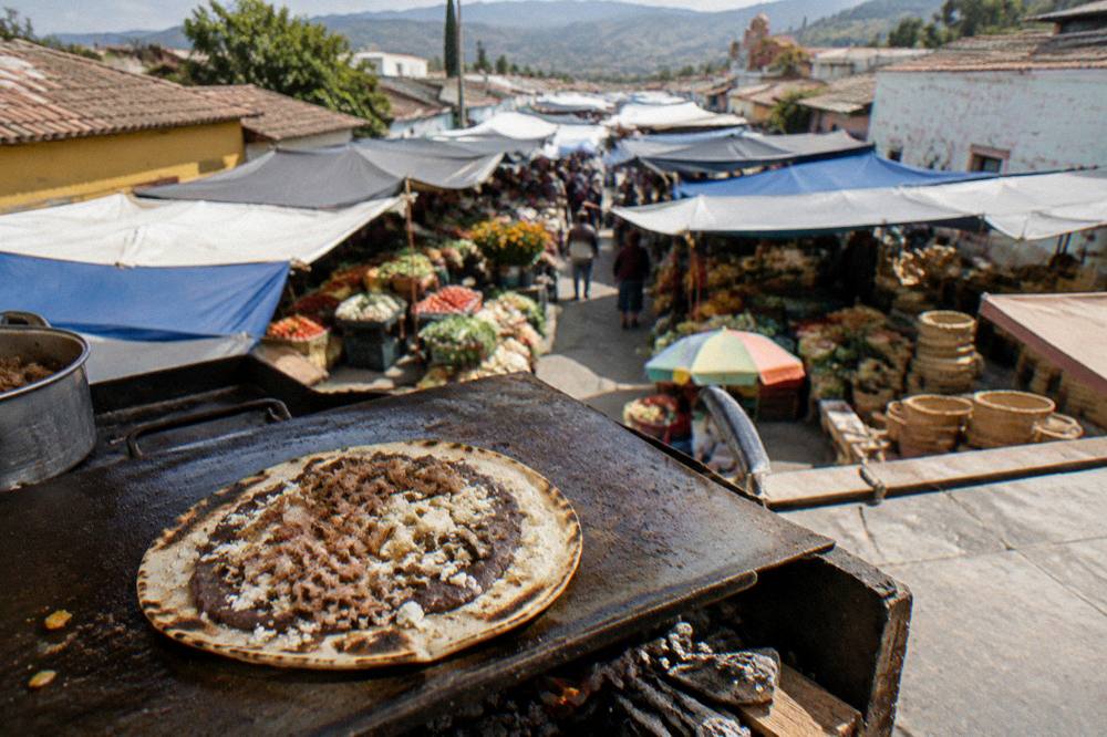
The five names to know are tlayuda, the large crisp tortilla dish of Oaxaca; mole, the sauce family the region is known for; tejate, a traditional maize and cacao drink; chapulines, toasted grasshoppers; and quesillo, the string cheese of the valley. All five are standard Oaxacan food words, and no source publishes a price for any dish at the Tlacolula market, so this page names them without figures.
The state's own framing puts markets at the centre of Oaxacan food culture, describing them as guardians of identity and traditions. In the capital, that means the historic covered markets: Mercado 20 de Noviembre, founded in 1893, and Mercado Benito Juárez, inaugurated in 1894, both near the Zócalo and covered in the guide to Oaxaca south of centre and its mercados. In the valleys it means the weekly tianguis of which Tlacolula's is the name this page carries.
Each food has a dedicated page on this site: tlayudas, Oaxacan mole, quesillo, and the wider survey of what to eat in Oaxaca. For cooking rather than eating, the Oaxaca cooking classes guide covers market-visit classes in the city, several of which appear in the picks below.
How Does A Tlacolula Day Fit An Oaxaca Itinerary?
A Tlacolula Valley day works as the day-trip block of almost any Oaxaca itinerary: one day for the eastern corridor of Tule, Teotitlán, Tlacolula, Mitla and optionally Hierve el Agua, one day for Monte Albán west of the city, and the remaining days for the Centro Histórico, its markets and its museums. The itinerary pages on this site place the valley day on day two or three of most plans.
The shortest plan, Oaxaca in one day, keeps the visitor in the city. From three days onward, the valley day enters the plan, and by four days it is standard, usually paired with a Monte Albán half day. The eastern corridor is the natural shape for it: the drive is about 25 minutes to Tlacolula and about 37 to Mitla, so the whole chain fits daylight comfortably if Hierve el Agua is the turn-around point at about 57 minutes out.
Two timing facts shape the day. Mitla's last access is 16:30, so the archaeological stops belong before the final market wandering, not after. And the city's own INAH museum, the Museo de las Culturas de Oaxaca at Santo Domingo, closes at 16:00 and opens Tuesday to Saturday only, so it belongs to a city day, not the valley day.
| Itinerary length | Valley day included | Typical pairing |
|---|---|---|
| 1 day | No | Centro Histórico and markets only |
| 2 days | Possible | Monte Albán plus a short valley run |
| 3 days | Yes | Valley day plus Monte Albán day |
| 4 days | Yes | Adds Hierve el Agua at the far end |
| A week | Yes | Adds the Sierra Norte or the coast |
Is A Guided Tlacolula Valley Tour From Oaxaca Worth Booking?
A guided valley tour trades self-driving for a fixed chain of stops, and the tour list on this site carries more than a dozen valley options, from the full Hierve el Agua, Mitla, Tule, rugs and mezcal loop to private Mitla and weavers' town days.
The decision is mostly about the road. The corridor is one highway with short town detours, so independent travel is straightforward if a car or colectivo arrangement suits. On the mezcal question itself, the answer page on whether mezcal is the poor man's tequila sets out the facts.
Santiago Matatlán, the town at the far end of the valley beyond Mitla, is repeatedly described in state communications as the world capital of mezcal, with references to dozens of palenques, though no official page publishes visitor hours or tasting prices for them. That gap is exactly what the guided distillery options on this site fill.
Common Questions About The Tlacolula Sunday Market
What Is The Tlacolula Sunday Market?
The weekly tianguis of Tlacolula de Matamoros, a town about 31 km east of Oaxaca City in the Tlacolula Valley. State communications describe the regional tianguis of the Valles Centrales as markets that guard Oaxacan identity and traditions.
How Far Is Tlacolula From Oaxaca City?
About 31.2 km by road from the Zócalo, a free-flow drive of about 25 minutes computed on mapped routes. Real traffic and market-day congestion in the town add time.
What Are The Entrance Fees At Mitla And Yagul?
Both are INAH Category I sites: 105 MXN for Mexican nationals and 210 MXN for foreign visitors. Dainzú and Lambityeco in the same corridor are Category III at 80 and 145 MXN.
Can You Combine Tlacolula With Hierve El Agua?
Yes.
What Foods Is The Tlacolula Valley Known For?
The standard Oaxacan names: tlayuda, mole, tejate, chapulines and quesillo.
When Is The Best Time Of Year For A Tlacolula Day Trip?
No official source ranks the months. The SMN normals show a dry season from November to April and a rainy season from May to October, with June averaging 188.3 mm of rain and January 2.4 mm, so the choice trades rain risk against the green valley.
The Tlacolula Sunday Market gives the eastern valley a fixed weekly centre of gravity, and everything around it, from the Tule tree at 11 minutes to Hierve el Agua at about an hour, hangs off the same road. Fix the INAH last-access times first, let the climate table pick the season, and the day plans itself.