What Is The Best Way To Get Around Oaxaca?
How to get around Oaxaca City: walking the Centro Histórico, colectivos and tours to Monte Albán and the Tlacolula Valley, and when a car helps, with drive times and site hours.
Oaxaca City, the inland highland capital of the state of Oaxaca in Mexico, sits in the Valles Centrales at about 1,550 m, and that geography shapes every transport decision. The historic core is small enough that the Zócalo, Santo Domingo de Guzmán and the Andador Macedonio Alcalá all sit within a short walk of each other, while the archaeological sites and craft villages spread across the valley floor beyond. The short answer from every angle is the same: walk the centre, and use colectivos or organised day trips for everything beyond it.
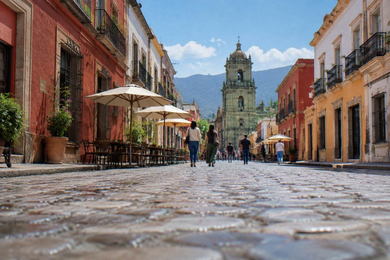
The options appear here in the order a visitor actually meets them: the walkable centre first, then the valley trips to Monte Albán and the Tlacolula Valley towns, then the question of driving yourself. Drive times below are derived from road-network routing and are stated as "about", with real traffic and mountain roads running slower. Each section stands alone, so a reader who lands mid-page on one heading still gets a complete answer to that question.
The best way to get around Oaxaca is on foot inside the Centro Histórico, backed by colectivos or organised tours for the valley destinations. The centre between the Zócalo, Santo Domingo de Guzmán and the surrounding neighbourhoods is compact, and the sites visitors come for, Monte Albán, Mitla, Hierve el Agua and the craft villages, lie 11 to 57 minutes away by road and are reached by shared transport or a booked day trip.
For orientation on a first day, a guided walk solves two problems at once. The Culture, History and Traditions of Oaxaca City walk covers the centre's layout with a professional local guide, and the tour list lists it with Check availability on the operator's booking page. After that, days in the city pass easily without a vehicle. The site's Oaxaca Centro Histórico guide maps what sits within walking range, and the question of how walkable the city really is has its own treatment in Is Oaxaca a Walkable City?.
Two practical notes frame everything else. Mexico abolished daylight saving time, so Oaxaca stays at UTC-6 all year. And there is no bike-share scheme in the city, so cycling means either a rented bike or a booked ride such as the street art bike rides in the tour list.
How Walkable Is The Centre Of Oaxaca?
The Centro Histórico of Oaxaca is walkable end to end: the Zócalo, the Andador Macedonio Alcalá, Santo Domingo de Guzmán, the Basílica de la Soledad and the markets of the historic core all lie within a compact grid that crossed on foot in well under an hour. The neighbouring barrios of Jalatlaco and Xochimilco sit just beyond that core and are reached on foot the same way.
That density is the reason walking tops this list. The UNESCO property, "Historic Centre of Oaxaca and Archaeological Site of Monte Albán", places the colonial core and the ruins in one inscription, and the two halves are handled differently: the core on foot, the ruins by road. Within the core, the streets between the Zócalo and Santo Domingo de Guzmán form the spine visitors use daily, with the Mercado 20 de Noviembre and Mercado Benito Juárez beside it.
Walking also answers the evening question. Night walks in the centre are a separate safety topic with their own page, Is Oaxaca Safe To Walk Around At Night?, and the general context for the city as a destination sits in Is Oaxaca Worth Visiting?. On transport, the practical rule is simple: if a destination is inside the ring of central neighbourhoods, walk it; if it is beyond, plan a vehicle.
How Do You Get From Oaxaca To Monte Albán And The Valley Sites?
Monte Albán lies about 15 minutes by road from the Zócalo, Mitla about 37 minutes, and Hierve el Agua about 57 minutes, with the craft villages between them, so valley destinations are reached by colectivo, tour or private vehicle rather than on foot. The INAH sites among them open 08:00 to 17:00 with earlier last-access times, and Zaachila opens Thursday to Sunday only, 10:00 to 16:00.
The derived drive times from the Zócalo, computed on the road network at free flow and rounded up, look like this:
| Destination | Distance from the Zócalo | Drive time (about) |
|---|---|---|
| Monte Albán | 8.7 km | 15 minutes |
| Santa María del Tule | 10.2 km | 11 minutes |
| Teotitlán del Valle | 29.2 km | 26 minutes |
| Tlacolula | 31.2 km | 25 minutes |
| Ocotlán | 32.5 km | 37 minutes |
| Yagul | 41.9 km | 38 minutes |
| Mitla | 44.6 km | 37 minutes |
| Hierve el Agua | 67.1 km | 57 minutes |
Real traffic and mountain roads are slower than these figures, especially the climb to Hierve el Agua. Shared vans, colectivos, run to the valley towns from city departure points, and the site's colectivos and mototaxis guide covers how they work; no official fare table exists in the primary sources, so confirm the fare at the departure point rather than from any printed figure.
For the ruins themselves, entry is charged by INAH category, and the hours differ by site in ways that matter for planning:
| INAH site | Hours | Last access | Nationals | Foreigners |
|---|---|---|---|---|
| Monte Albán | Mon to Sun 08:00-17:00 | 16:00 | 105 MXN | 210 MXN |
| Mitla | Mon to Sun 08:00-17:00 | 16:30 | 105 MXN | 210 MXN |
| Yagul | Mon to Sun 08:00-17:00 | 16:00 | 105 MXN | 210 MXN |
| Dainzú | Mon to Sun 08:00-17:00 | 16:30 | 80 MXN | 145 MXN |
| Lambityeco | Mon to Sun 08:00-17:00 | 16:30 | 80 MXN | 145 MXN |
| Zaachila | Thu to Sun 10:00-16:00 | n/a | 80 MXN | 145 MXN |
Because Monte Albán's last access is 16:00 and the site closes at 17:00, a half-day tour that handles the transfer is the shape most listings take. Whether the ruins justify the trip is its own question, covered in Is Monte Albán Worth It.
Should You Rent A Car In Oaxaca Or Take Tours?
Renting a car in Oaxaca makes sense mainly for multi-stop valley days and the far extensions to the Sierra Norte or the Pacific coast; for everything else, tours and colectivos cover the same ground without parking or navigation. Latuvi in the Pueblos Mancomunados lies about 142 minutes from the city by road and Puerto Escondido about 165 minutes on the new highway, distances at which a tour or a long-haul bus usually beats a self-drive day trip.
The case for tours is density. The Tlacolula Valley strings Santa María del Tule, Teotitlán del Valle, Tlacolula, Mitla and Hierve el Agua along one corridor, and a single booked loop covers several of them in a day, with the driving left to someone who knows the mountain road to Hierve el Agua. The case for a car is flexibility: Zaachila opens only Thursday to Sunday, Ocotlán's market day is Friday, Tlacolula's is Sunday, and matching those days with public transport takes more planning than a wheel of your own.
The site's full getting around Oaxaca guide works through the modes in detail, and how many days you have changes the maths, see How Many Days In Oaxaca Is Enough. One planning fact worth carrying: the city received 1,324,332 tourist arrivals in 2025 with an average stay of 2.00 nights, so a large share of visitors compress the valley into one or two booked days rather than spreading it across independent trips.
What About Taxis And Apps Within Oaxaca City?
Within Oaxaca City, taxis are the fallback for late nights, luggage days and rain, and the Centro Histórico is small enough that they are rarely the first choice; no official published fare table exists in the primary sources, so agree the fare before getting in. Ride-hailing apps operate in the city, though not with any airport service that the primary sources confirm, and the airport at Xoxocotlán is served by its authorised transport.
The airport point matters because Oaxaca's airport, Xoxocotlán International, is operated by ASUR and lies in the Xoxocotlán area south of the centre. For arrivals, the practical move is to use the authorised transport at the terminal rather than any app, and to treat any fare figure heard secondhand as unconfirmed.
Beyond the centre, the pattern repeats: short trips by taxi, corridor trips by colectivo, multi-stop days by tour. The Taxis, Uber and DiDi in Oaxaca guide and the Oaxaca Airport guide hold the detail, including arrival logistics and how the authorised airport transport works in practice.
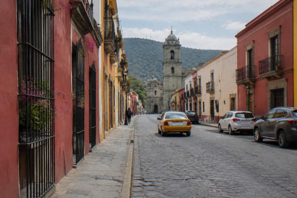
Common Questions About Getting Around Oaxaca
What Is The Best Way To Get Around Oaxaca?
Walk the Centro Histórico, and use colectivos or booked tours for the valley: Monte Albán is about 15 minutes away by road, Mitla about 37 and Hierve el Agua about 57, all reached by shared or organised transport rather than on foot.
Is Oaxaca City Walkable Without A Car?
Yes, in the centre. The Zócalo, Santo Domingo de Guzmán, the Andador Macedonio Alcalá, the central markets and the nearby barrios of Jalatlaco and Xochimilco all lie within a compact walkable grid.
Can You Get To Monte Albán Without A Tour?
Yes, shared transport and taxis reach the site, which lies about 15 minutes by road from the Zócalo. Entry is 105 MXN for nationals and 210 MXN for foreigners, and the INAH page lists last access at 16:00.
How Long Is The Drive From Oaxaca To Hierve El Agua?
About 57 minutes from the Zócalo under free-flow conditions, derived from road-network routing, with real traffic and the mountain road making it slower.
Does Oaxaca Have Uber?
Ride-hailing apps operate in Oaxaca City, but the primary sources confirm no airport service for them; the airport at Xoxocotlán is served by its authorised transport. Details sit in the site's taxis and apps guide.
Is It Worth Renting A Car In Oaxaca?
Only for multi-stop valley days or far extensions such as the Sierra Norte, about 142 minutes to Latuvi, or the coast, about 165 minutes to Puerto Escondido on the new highway. For the city and single-site days, tours and colectivos cover the same ground.
In short, the best way to get around Oaxaca is the oldest one inside the centre and the shared one beyond it: your own feet for the historic core, colectivos and tours for Monte Albán, the Tlacolula Valley and the craft villages, and a taxi for the odd late night or luggage run. Everything on the Oaxaca Travel Guide site assumes that shape, and it holds for the coast extensions too.