Is Oaxaca A Walkable City?
Is Oaxaca a walkable city? A sourced answer for Oaxaca City in Mexico: the compact Centro Histórico, the hills, cobblestones, and where walking stops being the answer.
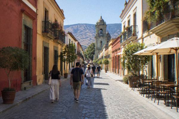
Oaxaca City, the inland highland capital of the state of Oaxaca in Mexico, is built around a compact colonial core where the major sights cluster within a short walk of one another. The Zócalo, Santo Domingo de Guzmán, the Andador Macedonio Alcalá, the markets and the Barrio de Jalatlaco can all be reached on foot from almost any hotel in the Centro Histórico, and that fact alone puts the city among the more walkable destinations in Mexico. The qualifications come at the edges: the hills on either side of the centre, the uneven pavements, and the archaeological zones and craft villages that sit well outside walking range in the Valles Centrales. The page reports what the primary sources say about each of those.
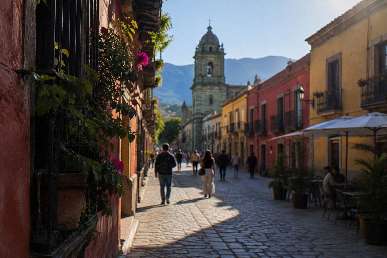
Yes, for the city itself: Oaxaca City is genuinely walkable, because its UNESCO-listed Historic Centre of Oaxaca and Archaeological Site of Monte Albán core sits on a compact grid where the Zócalo, Santo Domingo de Guzmán, the Andador Macedonio Alcalá and the central markets all lie within roughly fifteen minutes on foot of one another. Walking stops being the full answer only for Monte Albán and the valley villages, which are kilometres away.
That first claim is anchored in something concrete. UNESCO inscribed the "Historic Centre of Oaxaca and Archaeological Site of Monte Albán" as property 415, and the historic core the listing covers is small: the city was founded in 1529 as Antequera, and its centre kept a tight street plan around the Zócalo (formally the Plaza de la Constitución). The municipality holds 270,955 people per the Censo 2020, but the part a visitor walks is a fraction of that footprint.
The pedestrian spine is real. The Andador Macedonio Alcalá runs from the Zócalo to Santo Domingo de Guzmán and is a walking street, and the state government's "Oaxaca Camina" programme, announced for 2026, has been intervening on central streets to widen sidewalks and improve mobility, including a temporary full vehicular closure of Calle 20 de Noviembre for about two months from February 2026, reduced to one lane afterwards. That street, home of the Mercado 20 de Noviembre, is a food corridor more than a traffic route. For a fuller rundown of the neighbourhoods, the Oaxaca neighbourhoods guide and the answers on what not to miss in Oaxaca cover the ground.
None of this requires a car in the centre. Ride-hailing and taxis exist for the moments walking does not suit, and the best way to get around Oaxaca is a question with a walking-first answer for the centre and a bus-or-tour answer for the valley.
Which Parts Of Oaxaca City Are Best For Walking?
The Centro Histórico is the walkable heart: the Zócalo, the Andador Macedonio Alcalá, Santo Domingo de Guzmán, the Mercado 20 de Noviembre and the Mercado Benito Juárez all sit within a few blocks of one another, and the neighbourhoods of Jalatlaco and Xochimilco sit just beyond that core, close enough to reach on foot in minutes from the centre.
The layout rewards a walker. From the Zócalo, Santo Domingo de Guzmán is a straight walk up the Andador Macedonio Alcalá. The Basílica de la Soledad and the Cathedral sit at walking distance from the square. The Mercado 20 de Noviembre and the Mercado Benito Juárez sit directly south of the Zócalo. Jalatlaco, known for its murals, and Xochimilco lie adjacent to the centre rather than across town, which is why the free walking tours that operate in the city concentrate on exactly these areas.
What sits where, from the Zócalo:
| Sight | Neighbourhood | Reachable on foot from the Zócalo? |
|---|---|---|
| Santo Domingo de Guzmán | Centro Histórico | Yes, up the Andador Macedonio Alcalá |
| Mercado 20 de Noviembre | Centro Histórico | Yes, a few blocks south |
| Mercado Benito Juárez | Centro Histórico | Yes, a few blocks south |
| Basílica de la Soledad | Centro Histórico | Yes, west of the centre |
| Jalatlaco | Barrio de Jalatlaco | Yes, adjacent to the centre |
| Cerro del Fortín | West of the centre | Yes, uphill at the edge of the centre |
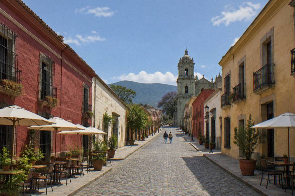
The catch inside this compactness is the surface. Central Oaxaca is paved with cobbles and flagstones in many streets, and sidewalks are narrow or absent on some blocks, so the walkable city is more walkable in closed shoes than in wheelies or heels. The city sits at about 1,550 m of altitude, which affects stamina on hills more than on the flat.
A walking-led product makes sense on ground like this. The related tour on this page, Street Art Tour With An Artist in Oaxaca, covers the mural neighbourhoods on foot with a working artist leading; the tour runs in the city core where walking is the natural mode. Check availability if a guided look at Jalatlaco's walls fits your days.
Where Does Walking Stop Working In Oaxaca?
Walking stops being practical at the edge of the city: Monte Albán sits about 9 km from the Zócalo, Hierve el Agua about 67.1 km, and the craft villages of the Valles Centrales between roughly 26 and 44 km out, so every major archaeological and craft destination in the region is a drive, a bus ride or a tour, never a walk.
These are derived free-flow drive times from the Zócalo, computed on OSM roads, and real traffic and mountain roads make them slower, but the distances settle the question on their own:
| Destination | Distance from the Zócalo | Drive time, free-flow (about) |
|---|---|---|
| Monte Albán | 8.7 km | 15 minutes |
| Santa María del Tule | 10.2 km | 11 minutes |
| Teotitlán del Valle | 29.2 km | 26 minutes |
| Tlacolula | 31.2 km | 25 minutes |
| Ocotlán | 32.5 km | 37 minutes |
| Yagul | 41.9 km | 38 minutes |
| Mitla | 44.6 km | 37 minutes |
| Hierve el Agua | 67.1 km | 57 minutes |
| Latuvi, Sierra Norte | 110.4 km | 142 minutes |
Monte Albán deserves its own word because it is the one visitors most often underestimate. It is not on the edge of town you can stroll to; it is a Category I INAH site open Monday to Sunday 08:00 to 17:00 with last access at 16:00, charging 105 MXN for Mexican nationals and 210 MXN for foreign visitors, and it sits on a hill across the valley. A guided half-day tour handles the transport, or the is Monte Albán worth it answer covers the decision in detail.
The other walking-limiting fact is directional: the city centre sits on the valley floor, but the Cerro del Fortín rises immediately to the west and some central streets slope toward it. Jalatlaco and Xochimilco are flat enough. The climb toward the Auditorio Guelaguetza on the Cerro del Fortín is a real hill, and in July, during the Guelaguetza, that is where the crowds head.
Do You Need A Car In Oaxaca City?
No car is needed for the city itself, and for the valleys a car is only one of three workable options: a rental or private driver, public colectivos running from city departure points to the valley towns, or organized day tours that bundle Monte Albán, Mitla, Hierve el Agua and the craft villages into a single loop with transport included.
For the centre, a car is closer to a liability. Parking in the historic core is scarce, the state's 2026 mobility works on Calle 20 de Noviembre narrowed that street for vehicles on purpose, and the whole point of the grid is that the sights are minutes apart on foot. The authorless recommendation follows the geography, not preference: stay central, walk, and buy wheels only for the valley days. The rest of the planning pages sit on Oaxaca Travel Guide.
For the valleys, tours dominate because the distances are large and the sites are scattered. A Hierve el Agua, Mitla, Tule and mezcal loop covers four stops that would otherwise mean multiple colectivo legs and a hot walk at the end. Colectivo services do run to Tlacolula, Mitla and Teotitlán del Valle from city departure points, frequent and cheap in local terms, though their fares are not printed on any primary source this site trusts.
How Does Weather Affect Walking In Oaxaca?
The dry season, November to April, is the comfortable walking window: the SMN station normals for Oaxaca show January with just 2.4 mm of rain and average highs of 28.9 C, while the rainy season from May to October brings June an average of 188.3 mm and September 163.6 mm, so midday walks in those months are shorter and the afternoons plan around rain.
The monthly picture, from the SMN station 20079 normals, 1991 to 2020:
| Month | Average high C | Average low C | Average rain mm |
|---|---|---|---|
| January | 28.9 | 10.3 | 2.4 |
| April | 34.9 | 15.8 | 47.3 |
| June | 30.9 | 16.7 | 188.3 |
| September | 29.1 | 16.1 | 163.6 |
| November | 29.0 | 12.3 | 9.1 |
Two practical consequences. April's average high of 34.9 C makes the middle of the day the weak part of a walking day, so mornings carry the walking itinerary then. In the rainy season the pattern is afternoon rain, and the mornings stay usable; the best month to go to Oaxaca answer works through this in detail. Nights are cool year round at this altitude, with January averaging a low of 10.3 C, so a walking evening wants a layer.
How Many Days Do You Need To Walk Oaxaca Properly?
Two full walking days cover the centre's core sights, the two markets, Jalatlaco and Xochimilco, and the Museo de las Culturas de Oaxaca, with a third day freed for Monte Albán and a fourth for the Mitla and Hierve el Agua loop, because the 2025 Sectur indicators record the average stay in the city at 2.00 nights and every valley destination is a drive, not a walk.
The museum detail matters for planning a walking itinerary: the Museo de las Culturas de Oaxaca at Santo Domingo is open Tuesday to Saturday only, 10:00 to 16:00, so a Sunday or Monday walking day loses it. The Jardín Etnobotánico next door runs free guided tours Monday to Friday at 10:30, 11:00, 11:30, 12:00 and 17:00, and Saturdays from 10:30 to 12:00, with large groups booking two weeks ahead. Those fixed slots shape a walking day around Santo Domingo more than any other block of the centre.
Beyond the core, walking days convert easily into themed days: a markets and street food day, a murals day in Jalatlaco, a crafts day out to Teotitlán del Valle and San Martín Tilcajete by tour or colectivo. The how many days in Oaxaca is enough answer breaks the trade-offs down.
Common Questions About Walking In Oaxaca
Is Oaxaca A Walkable City?
Yes, for the centre. The Zócalo, Santo Domingo de Guzmán, the Andador Macedonio Alcalá, the central markets, Jalatlaco and Xochimilco are all within walking range of one another on a compact grid. Monte Albán and the valley villages are not walkable from the city and need a tour, colectivo or car.
Is The Historic Centre Of Oaxaca Flat?
Largely, on the valley floor. The streets around the Zócalo and the Andador Macedonio Alcalá are flat or gently sloped, but the ground rises toward the Cerro del Fortín on the western edge, and many streets are cobbled with narrow sidewalks.
Can You Walk From Oaxaca City To Monte Albán?
Not as a sightseeing plan. Monte Albán sits about 9 km from the Zócalo with about 15 minutes of driving on mountain roads between, so it is reached by tour, taxi or bus, and the INAH site closes at 17:00 with last access at 16:00.
Is Oaxaca Safe To Walk Around At Night In The Centre?
The advisory picture is ordinary for Mexico: the UK FCDO advises against all but essential travel to parts of Mexico and does not name Oaxaca on its main page, Canada advises a high degree of caution for Mexico overall, and the US State Department lists Oaxaca state at Level 2, exercise increased caution. Road blockades by teachers' unions are a standing sporadic risk that can disrupt roads and airport access.
Do You Need Comfortable Shoes For Oaxaca?
Yes. Cobblestones, flagstones and narrow sidewalks are common across the Centro Histórico, and the city sits at about 1,550 m, which makes the uphill edges more work than the flat grid suggests. Closed shoes beat anything with thin soles.
The short version: book a room in or beside the Centro Histórico, plan the city entirely on foot, and spend the saved transport effort on the valley days, where a tour or a colectivo does the kilometres for you.