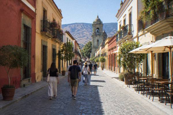
Is Oaxaca Safe For Americans Right Now?
What the US, UK and Canadian travel advisories actually say about Oaxaca, which parts of the state they flag, and what the everyday risks look like for American visitors.
Oaxaca City, the inland highland capital of the state of Oaxaca in Mexico, is one of the most visited cities in southern Mexico, and American travellers ask about safety before almost anything else. The short version is that the official advisories treat Oaxaca differently from the regions they warn against. The US State Department lists Oaxaca state at Level 2, Exercise Increased Caution, and, places no travel restrictions on US government employees for Oaxaca City, Monte Albán, Puerto Escondido or Huatulco, while restricting staff movements only in the Isthmus region to the east. The UK and Canadian advisories name other parts of Mexico entirely and apply their general Mexico guidance to Oaxaca. Each advisory is examined line by line, along with the standing risks the advisories do flag and how they map onto the city itself, with more detail in the site's Oaxaca safety guide.
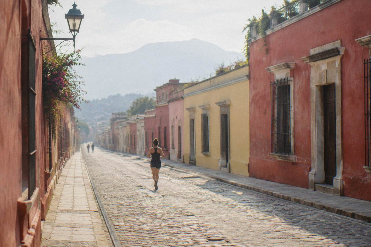
For the city and the main valleys, the advisory picture is consistent: the US State Department rates Oaxaca state at Level 2, Exercise Increased Caution, and, applies no restrictions to its own staff travelling to Oaxaca City, Monte Albán, Puerto Escondido or Huatulco. That reported wording matters because the State Department restricts its employees first when it considers an area genuinely risky, and for Oaxaca's central valleys it does not. The UK advisory names other Mexican states in its warnings and does not name Oaxaca. Canada advises a high degree of caution for Mexico as a whole.
Level 2 is the same tier the State Department uses for many heavily visited destinations, and it is a general caution about crime, not a warning to stay away. Nothing in the advisory system's published tiers tells an American not to book a trip to Oaxaca City. The restrictions that do exist for US government staff concern the Isthmus region, a lowland corridor hours from the city, and Federal Highway 200 on the Pacific side of the state near the Guerrero border. Neither sits on any standard visitor route from the city.
That is the official picture. The everyday picture in the city itself is ordinary urban common sense: the historic centre is compact and busy, the streets around the Zócalo and the Andador Macedonio Alcalá fill with visitors in the evening, and the questions that actually shape a trip are practical ones, from how many days in Oaxaca is enough to whether Oaxaca is a walkable city. For context on the wider question of organised crime and how it does and does not touch this city, see the site's separate page on whether Oaxaca is affected by cartels.
What Do The Official Travel Advisories Say About Oaxaca?
The US State Department rates Oaxaca state at Level 2, Exercise Increased Caution, and, places no restrictions on US government employees visiting Oaxaca City, Monte Albán, Puerto Escondido or Huatulco. The UK FCDO does not name Oaxaca on its main page, and Canada's regional advisories do not list Oaxaca among the areas to avoid. The UK FCDO advises against all but essential travel to parts of Mexico and does not name Oaxaca on its main page. Canada advises exercising a high degree of caution across Mexico, with regional advisories that do not list Oaxaca among the areas to avoid.
Each advisory is worded differently and it helps to read them side by side:
| Advisory | Wording for Mexico | How Oaxaca is treated |
|---|---|---|
| United States (State Department) | State-by-state levels | Oaxaca state at Level 2, Exercise Increased Caution; no staff restrictions for Oaxaca City, Monte Albán, Puerto Escondido or Huatulco |
| United Kingdom (FCDO) | Advises against all but essential travel to parts of Mexico | Oaxaca not named on the main page |
| Canada (travel.gc.ca) | Exercise a high degree of caution, with regional advisories | Oaxaca not listed among avoid-travel areas |
Two readings follow. First, none of the three governments singles Oaxaca out for a warning; the UK and Canadian pages treat it under their blanket Mexico guidance, which is among the mildest phrasing those pages carry. Second, the US wording stops at Level 2 and the reported staff-restriction list, and no stronger claim about the state appears in the advisory. Anyone wanting the exact current text should read the advisory pages directly before booking, because wording changes.
The Isthmus restrictions deserve one clear paragraph. The State Department's reported restrictions cover the Isthmus region of Oaxaca state, bounded by Federal Highway 185D to the west, Federal Highway 190 to the north and the Oaxaca-Chiapas border to the east, including Juchitán de Zaragoza and Salina Cruz, plus Federal Highway 200 between Pinotepa and the Guerrero border. Those areas are several hours from Oaxaca City by road and sit on no typical visitor itinerary, which is exactly why the restriction exists quietly alongside an otherwise calm advisory for the valleys.
A useful comparison for Americans weighing Oaxaca against the capital is the site's page on whether Mexico City or Oaxaca is safer, and the broader question of whether Oaxaca is worth visiting at all.
Is Oaxaca City Safe To Walk Around At Night?
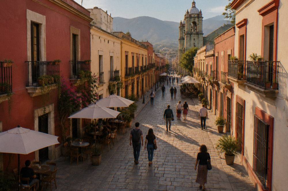
The Centro Histórico of Oaxaca City stays busy into the evening, and the advisory picture carries no curfew, no area warning and no restriction for the city itself; ordinary urban caution after dark is the reasonable posture rather than avoidance. The streets between the Zócalo, the Andador Macedonio Alcalá and Santo Domingo de Guzmán hold restaurants and visitors well into the night. The State Department's reported restrictions name no part of the city. As with any unfamiliar city, well-lit central streets beat empty side streets late at night.
Night-time safety questions are really neighbourhood questions. The centre, Jalatlaco and Xochimilco are the areas visitors stay in and walk between, and the site's page on whether Oaxaca is safe to walk around at night covers the evening picture in detail. For choosing a base, the guide to which part of Oaxaca is best to stay in matters more than any advisory line, because a stay within walking distance of the centre removes most late-night transport decisions entirely.
A guided walk is one practical way to get oriented on a first evening or a first morning. The historic center walking tour pairs a professional local guide with the city's core streets, Check availability if that fits a first day.
Are Road Blockades A Problem For Visitors?
Road and airport-access blockades by teachers' unions are a standing, recurring risk in Oaxaca, typically short-lived, closing roads for roughly a day at a time. They are political protests, not violence directed at visitors. The practical answer is schedule slack: keep a buffer before flights, stay flexible on intercity travel days, and check road conditions on the day of travel, since a road closed in the morning can be open by afternoon. These protests have at times closed Federal Highway 190 exits, airport access roads and city intersections for roughly a day at a time before being cleared. They are political protests, not violence directed at visitors, and no advisory ties them to crime against travellers.
For an American planning a trip, three practical habits cover nearly all of it. Build a margin into any travel day, especially the airport run, so a blocked road costs hours rather than a flight. Keep plans flexible on intercity travel days, including the drive toward the coast. And treat any single news report of a blockade as a snapshot: these actions start and end quickly, and a road closed in the morning can be open by afternoon. The rest of the planning pages sit on Oaxaca Travel Guide.
The blockades also interact with the state's geography. Oaxaca City sits inland in the Valles Centrales at about 1,550 m, and its main excursions run through mountain roads to sites like Monte Albán and Hierve el Agua. Real traffic and mountain roads make every drive slower than the free-flow figure, which is one reason organised day tours remain popular: a local operator adjusts to road conditions on the day.
What Everyday Risks Should Americans Plan For In Oaxaca?
The realistic risks in Oaxaca City are the ordinary ones: petty theft on crowded streets, the effects of sitting at about 1,550 m of highland altitude, strong sun, and adjusting to street food and market eating. The organised-crime threats the advisories attach to other parts of Mexico are not the concern here. The city sits at about 1,550 m, the timezone is UTC-6 all year since Mexico abolished daylight saving in 2022, and the sun at highland altitude catches visitors who underestimate it. None of these is a reason to skip the trip; all are easier to handle with a little planning.
A short planning table for the everyday items:
| Item | The practical point |
|---|---|
| Altitude | Oaxaca City sits at about 1,550 m; pace the first day |
| Timezone | UTC-6 all year, no daylight saving since 2022 |
| Weather | Dry season November to April, rainy season May to October |
| Crowds | Festival periods, Guelaguetza in July and Día de Muertos around late October and early November, fill the city |
| Cash and cards | Carry pesos for markets and small vendors |
Petty theft is the standard city risk everywhere in Mexico and the pragmatic defences are the standard ones: keep phones and cameras discreet on crowded streets, use hotel safes, and carry only what the day needs. The dietary adjustment question has its own page on whether you can drink the water in Oaxaca. Sun protection belongs on any Monte Albán day: the site is open 08:00 to 17:00 with last access at 16:00, per the INAH site page, and the exposed terraces offer little shade.
On food, market eating is part of why people come, and a food and markets tour with a local guide is a low-friction introduction for anyone nervous about ordering solo. The deeper answer to what to eat is the site's page on what food Oaxaca is famous for.
Do I Need To Worry About Crime Statistics For Oaxaca?
No advisory publishes a crime statistic for Oaxaca City that a traveller can act on, and the advisory tiers themselves are the usable signal: Level 2 from the United States, no mention on the UK's warning list, and Canada's general Mexico caution. Reading anything more specific into the state would mean inventing a figure no official page carries. What the advisories do publish is behavioural guidance, and that guidance points at the Isthmus and Highway 200 near Guerrero, not the valleys.
That distinction, valleys versus Isthmus, is the single most useful thing to take from this page. The places Americans actually visit in Oaxaca, the city, Monte Albán, the craft villages, Hierve el Agua and the Pacific beach towns, are the places the reported restrictions explicitly do not cover. The areas flagged are hours away in a different landscape and economy. A visitor who never planned to go to Juchitán is not affected by a restriction on Juchitán.
Festival periods change the texture of the city rather than its risk level. Guelaguetza fills Oaxaca in July, with two Mondays of performances on the Cerro del Fortín, and Día de Muertos centres on the traditional dates of 31 October to 2 November. Both bring crowds and higher demand for rooms, which is a booking problem rather than a safety one, and the site's page on the best month to go to Oaxaca weighs the trade-offs. For the essentials on what not to miss in Oaxaca, the itinerary pages cover the main sights.
Common Questions About Safety In Oaxaca For Americans
Is Oaxaca Safe For Americans Right Now?
The US State Department rates Oaxaca state at Level 2, Exercise Increased Caution, and places no restrictions on its own employees visiting Oaxaca City, Monte Albán, Puerto Escondido or Huatulco. The UK and Canada do not name Oaxaca in their warning lists. Ordinary urban caution is the reasonable posture for the city itself.
Is Oaxaca Safer Than Mexico City?
Both sit under the same general US advisory framework, and the comparison is best made on the advisory wording itself rather than on a statistic. The site's page comparing the two cities covers the details.
Are There Areas Of Oaxaca State Americans Should Avoid?
The reported US government restrictions cover the Isthmus region, including Federal Highway 185D to the west, Federal Highway 190 to the north and the Chiapas border, plus Federal Highway 200 between Pinotepa and the Guerrero border. None of these sit on a standard visitor route from Oaxaca City.
Do Road Blockades Affect Travel In Oaxaca?
Teachers' union protests occasionally close roads and airport access for roughly a day at a time. They are a schedule risk rather than a personal safety risk, so keep a time buffer before flights and check conditions on travel days.
Is It Safe To Walk Around Oaxaca City At Night?
The historic centre stays busy into the evening and no advisory restricts any part of the city. Standard city habits, sticking to well-lit central streets, cover the situation.
Is Oaxaca Safe For A First Trip To Mexico?
Yes, on the advisory evidence. Oaxaca City is compact, walkable and heavily visited, with a Level 2 state rating and no city-specific restrictions. The site's first-time visitor guide covers the practical basics.
Oaxaca Travel Guide, the site behind this page, keeps a full Oaxaca safety guide for the questions this page raises, and the advisory pages themselves are the final word before any booking.